


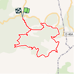

13.3 km | 20 km-effort


User


FREE GPS app for hiking
 SityTrail
IGN / Geographical institutes
SityTrail World
The world is yours!
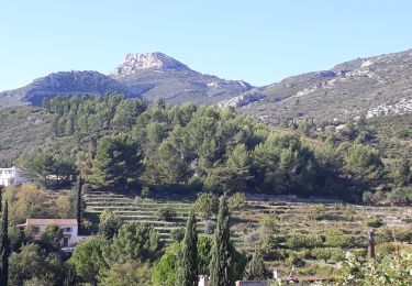
Trail Walking of 10.5 km to be discovered at Provence-Alpes-Côte d'Azur, Bouches-du-Rhône, Allauch. This trail is proposed by tracegps.
Vous entrerez dans le domaine départemental de Pichauris (acheté par le Conseil Général des Bouches du Rhône) pour une randonnée agréable sur des chemins faciles ou sur pistes DFCI. D’autres informations sur le site de Rando Loisirs à Carnoux en Provence.

Walking
Walking
Mountain bike
Walking
Mountain bike

Mountain bike

Walking

Walking

Walking
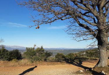
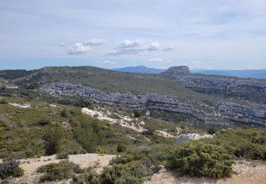
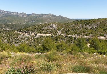
Itinéraire très sympa !