


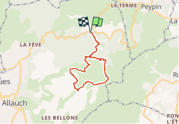

13.3 km | 20 km-effort

User GUIDE


FREE GPS app for hiking
 SityTrail
IGN / Geographical institutes
SityTrail World
The world is yours!
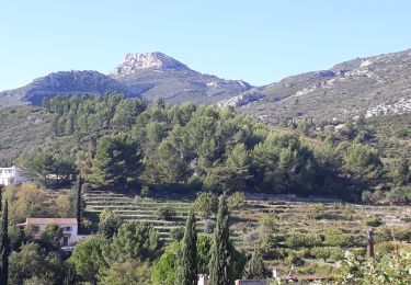
Trail Walking of 13.3 km to be discovered at Provence-Alpes-Côte d'Azur, Bouches-du-Rhône, Allauch. This trail is proposed by amiral13.
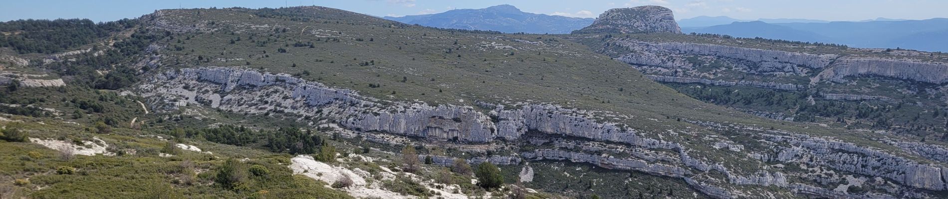
un beau point de vue.
La baume Sourne n'est plus accessible afin de protéger une espèce de chauve-souris.
La plupart des sources sont à sec.


Walking

Walking
Mountain bike
Walking
Mountain bike

Mountain bike

Walking

Walking

Walking