


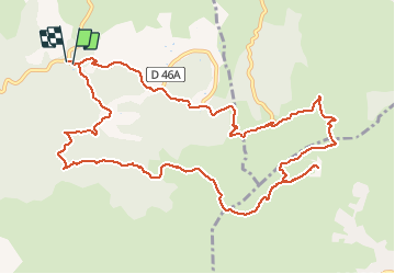

13.3 km | 20 km-effort

User GUIDE


FREE GPS app for hiking
 SityTrail
IGN / Geographical institutes
SityTrail World
The world is yours!
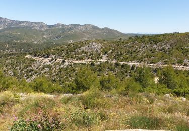
Trail Mountain bike of 14 km to be discovered at Provence-Alpes-Côte d'Azur, Bouches-du-Rhône, Allauch. This trail is proposed by amiral13.
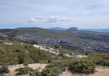
attention la descente par le Gr comporte de nombreux passages techniques réservés aux plus talentueux; <pour notre part, nous avons souvent mis pieds à terre. Si vous n'êtes pas très techniques préférez la piste qui monte à gauche.


Walking

Walking
Walking
Mountain bike
Walking
Mountain bike

Walking

Walking

Walking