


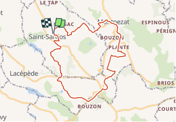

10.7 km | 14.8 km-effort

User


FREE GPS app for hiking
 SityTrail
IGN / Geographical institutes
SityTrail World
The world is yours!
Trail Mountain bike of 19.3 km to be discovered at New Aquitaine, Lot-et-Garonne, Saint-Sardos. This trail is proposed by tracegps.
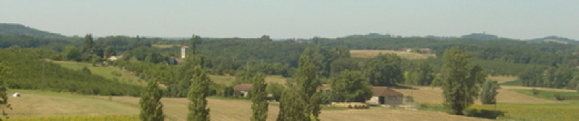
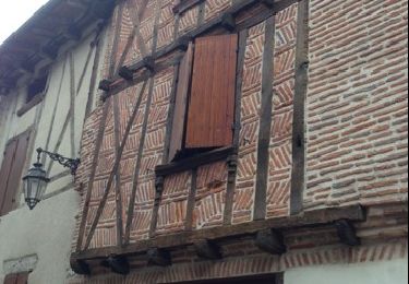
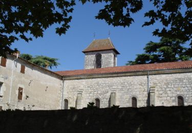
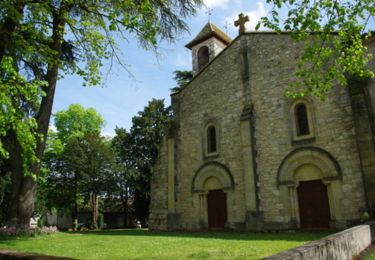
Espace VTT FFC Randonnée entre Lot et Garonne - Circuit n°10. Circuit officiel labellisé par la Fédération Française de Cyclisme. De Saint-Sardos, ancienne bastide à Lacépède, village de caractère au riche patrimoine traditionnel, les chemins coupent collines et vallées parsemées de vignes, vergers et lacs collinaires.

Walking
Walking

Walking
Mountain bike

Mountain bike

Equestrian
Mountain bike

Walking
Equestrian