


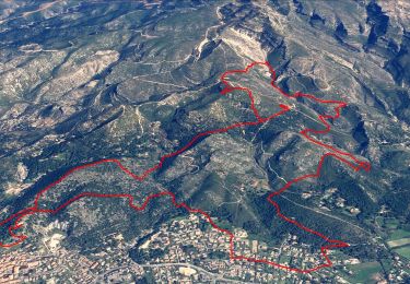
10.7 km | 16.2 km-effort

User


FREE GPS app for hiking
 SityTrail
IGN / Geographical institutes
SityTrail World
The world is yours!
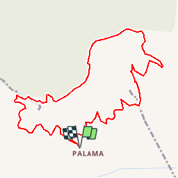
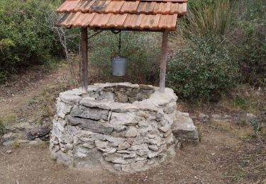
Trail Running of 12 km to be discovered at Provence-Alpes-Côte d'Azur, Bouches-du-Rhône, Marseille. This trail is proposed by tracegps.
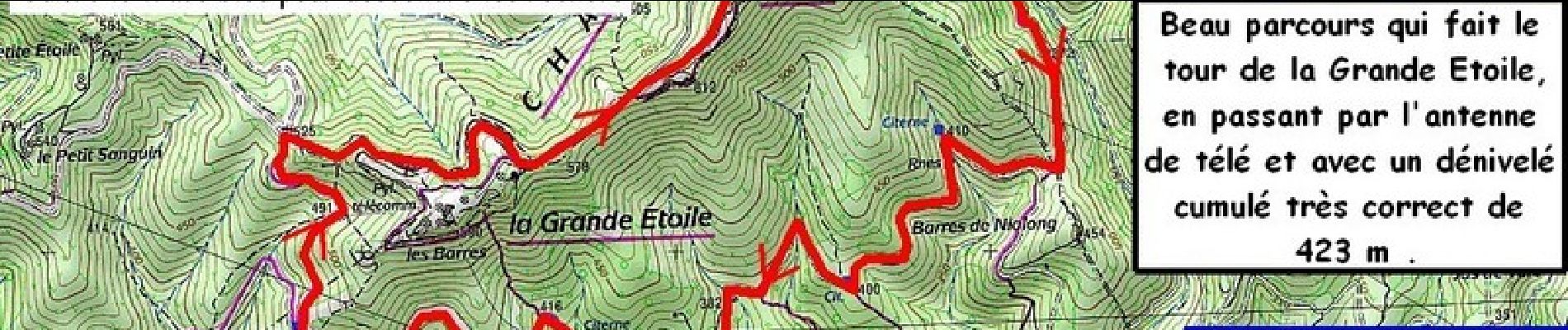
La dernière fois on est resté au pied de la Grande Étoile ... et je ressens une petite frustration... Alors aujourd'hui on se fait l'antenne télé et la crête ! On partira du parking le plus haut, pour un itinéraire à la portée de tous...


Walking

Mountain bike

Walking
Walking
Walking

Walking
Electric bike
Walking
Walking