


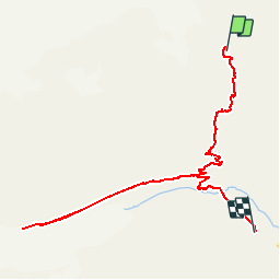

14.1 km | 29 km-effort

User


FREE GPS app for hiking
 SityTrail
IGN / Geographical institutes
SityTrail World
The world is yours!
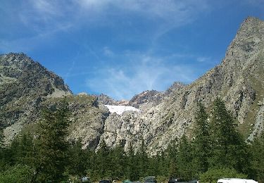
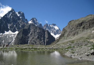
Trail Walking of 9 km to be discovered at Provence-Alpes-Côte d'Azur, Hautes-Alpes, Vallouise-Pelvoux. This trail is proposed by tracegps.
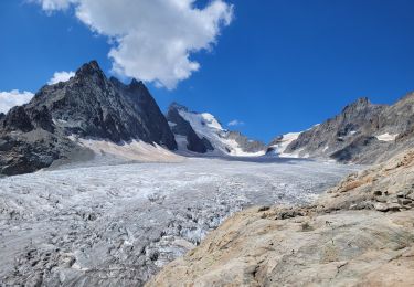
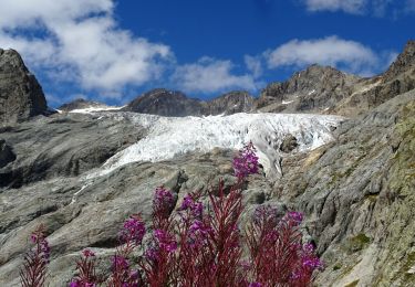
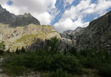
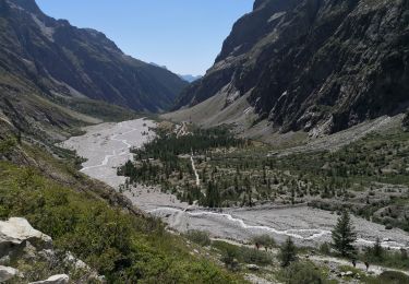
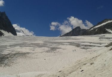
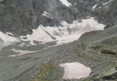
Descente du refuge du Glacier Blanc vers le Glacier Noir. Attention, sentier très étroit, risque de chute ! Puis redescendre sur le refuge Cézanne.


Walking
Walking
Walking
Walking
Walking
Walking
Walking
Walking
Walking