


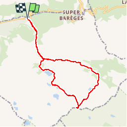

16.2 km | 31 km-effort


User


FREE GPS app for hiking
 SityTrail
IGN / Geographical institutes
SityTrail World
The world is yours!
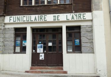
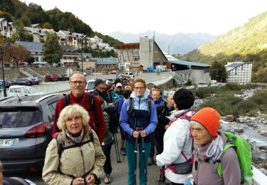
Trail Walking of 17.9 km to be discovered at Occitania, Hautespyrenees, Barèges. This trail is proposed by fredopaca.
Départ station Barége parking du portaloup vers balise du Pountou prendre sur la droite la cabane dets coubous col de tracens Pic de Madaméte 2657 redescendre vers col de Madaméte cabane de la Pégue et balise Pountou et parking Tournaloup
Walking

Walking

Walking
Walking

Walking

Walking
Horseback riding
Walking
Walking