


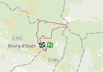

7.1 km | 13.3 km-effort

User


FREE GPS app for hiking
 SityTrail
IGN / Geographical institutes
SityTrail World
The world is yours!
Trail Walking of 5.9 km to be discovered at Occitania, Haute-Garonne, Cirès. This trail is proposed by tracegps.
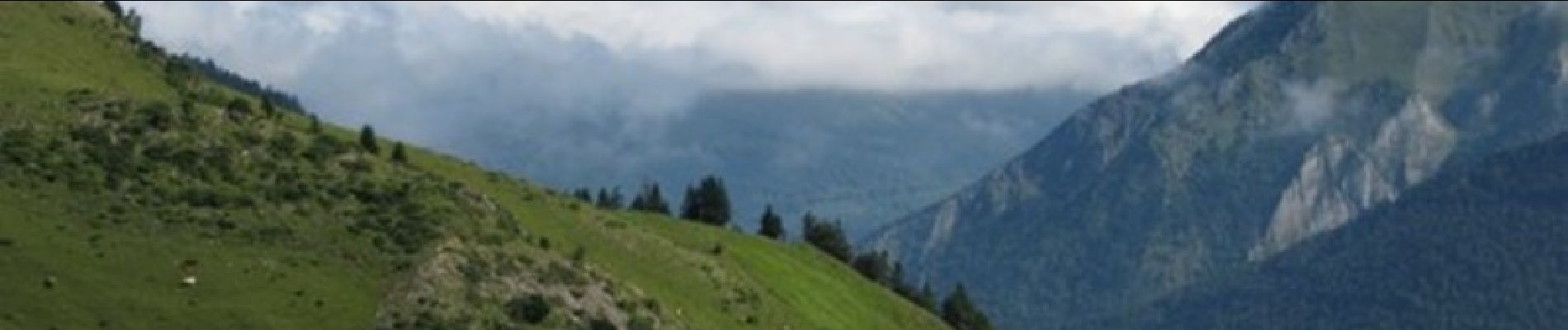
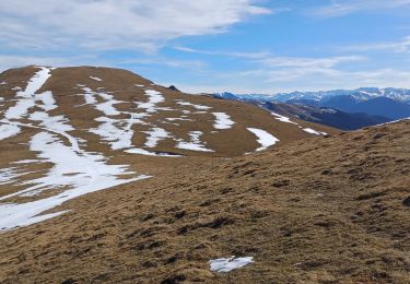
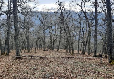
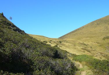
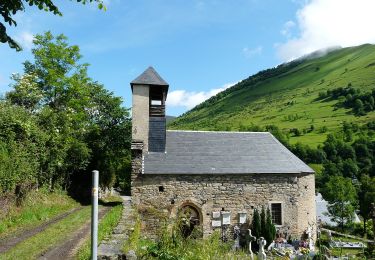
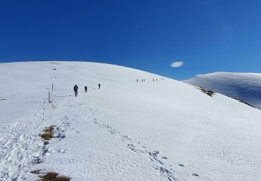
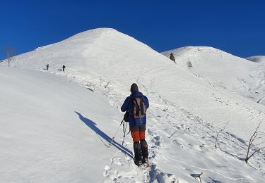
Départ/arrivée dans le premier virage de la route du port de Balés. On monte d'abord sur la crête, puis dans le vallon et on contourne un sommet par la droite et on passe devant une cabane avant de monter au sommet du Cap du Pouy de Pradaus. Très jolies vues sur les monts du Luchonnais, au retour on passe deux petits lacs avant de descendre par un autre vallon.

Walking
Walking

Walking
Walking
Walking
On foot
On foot
Walking
Walking