


16.7 km | 31 km-effort

User


FREE GPS app for hiking
 SityTrail
IGN / Geographical institutes
SityTrail World
The world is yours!
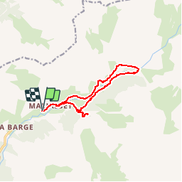
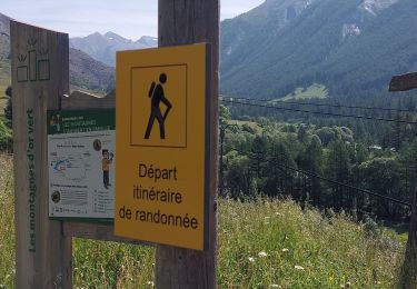
Trail Walking of 15.3 km to be discovered at Provence-Alpes-Côte d'Azur, Alpes-de-Haute-Provence, Saint-Paul-sur-Ubaye. This trail is proposed by tracegps.
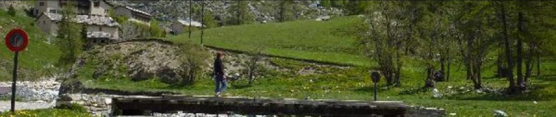
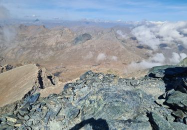
La carrière de marbre et le plan de Parouart. Belle randonnée dans un décor enchanteur en cette période de printemps tardif. La neige couvre les sommets, l'Ubaye roule des flots vert anis, les mélèzes aux feuillages aériens sont nos compagnons tout au long du parcours. Bien sûr il faudra s'écarter parfois du beau chemin à cause des nombreux névés qui pimentent notre parcours, traverser pieds nus les eaux glacées des torrents au plan de Parouart. Mais quel enchantement! Pour en voir plus, le site de Randoloc. Le fichier KMZ de la randonnée est aussi disponible sur le site


Walking
Walking

Walking
Walking
Walking
Walking
Walking
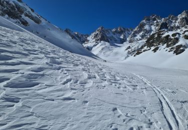
Touring skiing
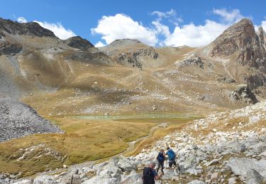
Walking