


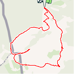

6.6 km | 8.9 km-effort

User


FREE GPS app for hiking
 SityTrail
IGN / Geographical institutes
SityTrail World
The world is yours!
Trail Walking of 6.9 km to be discovered at New Aquitaine, Pyrénées-Atlantiques, Sare. This trail is proposed by tracegps.
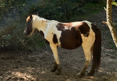
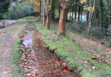
Rando balisée du départ au sommet, trace en jaune et panneau de direction. Le retour est non balisé ; suivre les sentes à travers les ajoncs puis à nouveau on trouve un bon sentier. Suivant la saison les ajoncs peuvent être assez haut, prévoir un pantalon de toile.


Walking

Walking

Walking
Walking
Walking
Walking
Walking


sport
Walking