


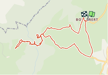


15.1 km | 23 km-effort

User


FREE GPS app for hiking
 SityTrail
IGN / Geographical institutes
SityTrail World
The world is yours!
Trail Walking of 6.9 km to be discovered at Auvergne-Rhône-Alpes, Puy-de-Dôme, Roche-Charles-la-Mayrand. This trail is proposed by tracegps.
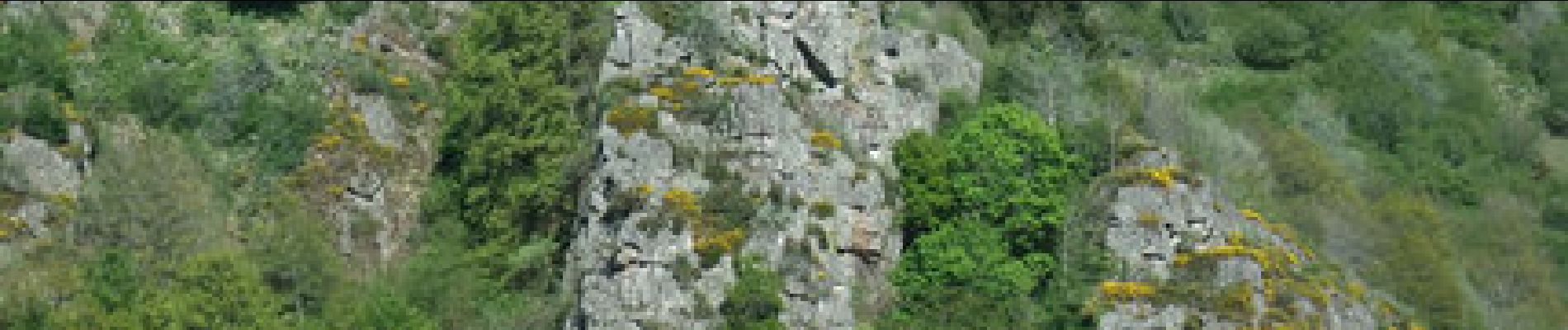
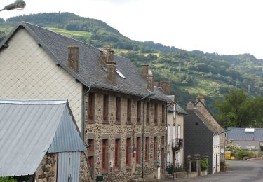
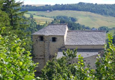
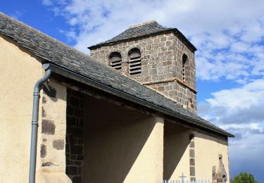
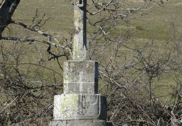
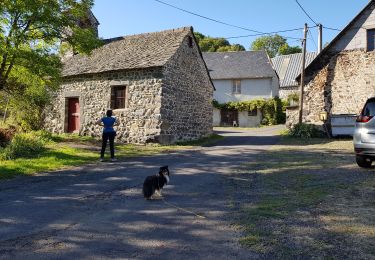
Sur un éperon rocheux dominant le ravin de Sault, à deux pas du village de Boslabert, la chapelle de Roche-Charles et son environnement sont à découvrir de tous cotés. N'oubliez pas l'appareil photo!


On foot
On foot
On foot
Walking
Walking
Walking
Walking
Walking
Walking