


24 km | 44 km-effort

User


FREE GPS app for hiking
 SityTrail
IGN / Geographical institutes
SityTrail World
The world is yours!
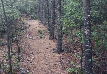
Trail Walking of 6.2 km to be discovered at Provence-Alpes-Côte d'Azur, Vaucluse, Bédoin. This trail is proposed by tracegps.
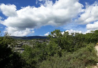
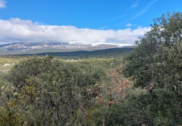
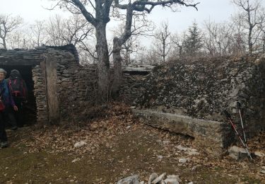
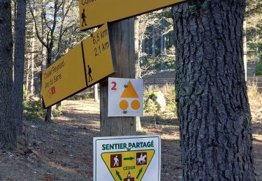
Un beau parcours pour découvrir le cèdre de l'Atlas dans une des six réserves de biosphère du Ventoux d'une superficie d'environ 60ha. Une véritable opération réussie de reboisement en 1862 dans laquelle on cherche aujourd'hui à concilier : conservation de la biodiversité, les activités humaines et économiques, dans un esprit de développement durable. Départ D974 peu après le pavillon de Roland.


Walking
Walking
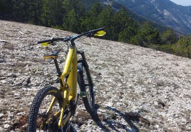
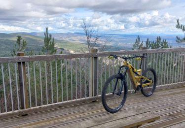
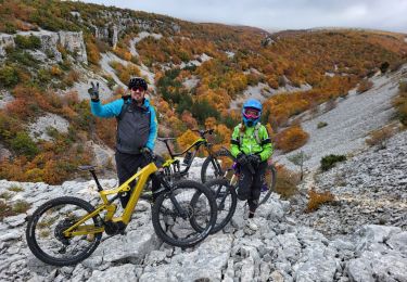
Mountain bike
Walking
Mountain bike
Walking
Walking
Walking
Mountain bike