Trail Walking Trèves - Randonnée de Trèves à Dizimieux - Photo

Randonnée de Trèves à Dizimieux

 tracegps
tracegps

User

© OpenStreetMap contributors
Length
Length
7.2 km
Max alt
Max alt
414 m
Uphill gradient
Uphill gradient
235 m
Km-Effort
Km-Effort  
10.3 km
Min alt
Min alt
270 m
Downhill gradient
Downhill gradient
238 m
Boucle
Boucle
Yes
Creation date :
2014-12-10 00:00:00.0
Updated on :
2014-12-10 00:00:00.0

(0 Reviews)

Walking
Walking
2h00
Difficulty : Medium

Scan this QR Code to open this trail in the SityTrail application

FREE GPS app for hiking

Logo SityTrail SityTrail

IGN / Geographical institutes

Download SityTrail from the App Store Download SityTrail from Google Play

Logo SityTrail SityTrail World

The world is yours!

Download SityTrail from the App Store Download SityTrail from Google Play Download SityTrail on Huawei AppGallery

About

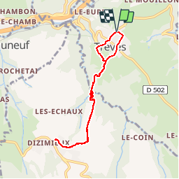
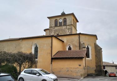
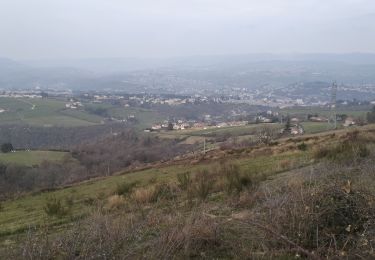
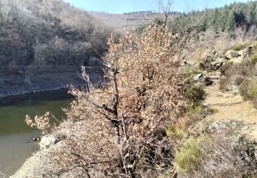
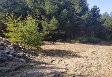
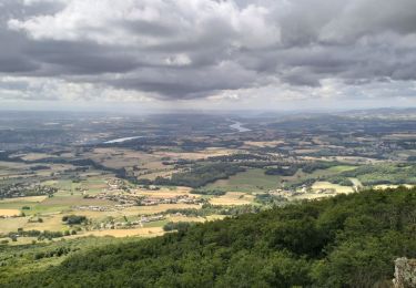
Trail Walking of 7.2 km to be discovered at Auvergne-Rhône-Alpes, Rhône, Trèves. This trail is proposed by tracegps.

Description

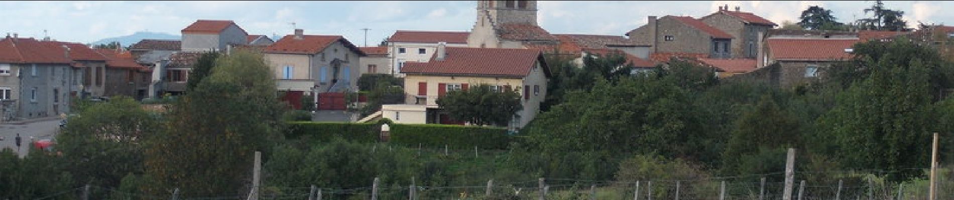
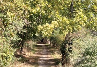
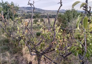
Ce parcours vous mènera du village de Trèves à Dizimieux, hameau de la commune de Longes. Une grosse partie du circuit se déroule en forêt et est balisé en noir et blanc.

Elevation profile

Photos

Positioning

Country:
France
Region :
Auvergne-Rhône-Alpes
Department/Province :
Rhône
Municipality :
Trèves
Location:
Unknown
Start:(UTM)
630989 ; 5044455 (31T) N.

Trails nearby

Trail Walking Trèves - Chemin de Fer à Trèves - Photo
Walking
tracegps

Walking

Medium
(1)
Trèves, Auvergne-Rhône-Alpes, Rhône, France
4.5 km | 6.8 km-effort
1h 30min
Yes
Trail Walking Saint-Joseph - 42-st-joseph-10km-320m - Photo
Walking
SyMA

Walking

Easy
Saint-Joseph, Auvergne-Rhône-Alpes, Loire, France
10.5 km | 14.8 km-effort
2h 50min
Yes
Trail Walking Chabanière - 69-st-maurice-dargoire2-19km-580m - Photo
Walking
SyMA

Walking

Difficult
Chabanière, Auvergne-Rhône-Alpes, Rhône, France
19.2 km | 27 km-effort
5h 47min
Yes
Trail Walking Chabanière - 69_st_maurice_dargeoire_12km_300m - Photo
Walking
SyMA

Walking

Medium
Chabanière, Auvergne-Rhône-Alpes, Rhône, France
11.6 km | 15.5 km-effort
3h 31min
Yes
Trail Walking Échalas - 69-echalas-17km-450m - Photo
Walking
SyMA

Walking

Difficult
Échalas, Auvergne-Rhône-Alpes, Rhône, France
17.4 km | 23 km-effort
5h 17min
Yes
Trail Walking Châteauneuf - 42-barrage-couzon-ste-croix-retau-17km-550m - Photo
Walking
SyMA

Walking

Difficult
Châteauneuf, Auvergne-Rhône-Alpes, Loire, France
17.3 km | 25 km-effort
4h 47min
Yes
Trail Walking Châteauneuf - 42-barragecouzon-12km-320m - Photo
Walking
SyMA

Walking

Easy
Châteauneuf, Auvergne-Rhône-Alpes, Loire, France
12 km | 16.3 km-effort
3h 21min
Yes
Trail Walking Longes - 1 septembre 2022 longes - Photo
Walking
Parodie69

Walking

Difficult
Longes, Auvergne-Rhône-Alpes, Rhône, France
23 km | 35 km-effort
6h 40min
Yes
Trail Walking Longes - 69-longes-Mont-Monnet-Ste-Croix-Jarez-20km-800m - Photo
Walking
SyMA

Walking

Difficult
Longes, Auvergne-Rhône-Alpes, Rhône, France
20 km | 31 km-effort
6h 5min
Yes


Close
My subscriptions