


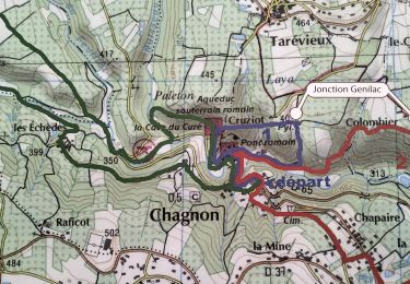
4.5 km | 6.8 km-effort


User


FREE GPS app for hiking
 SityTrail
IGN / Geographical institutes
SityTrail World
The world is yours!
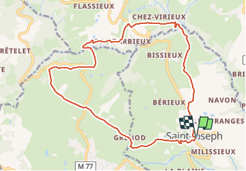
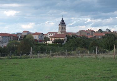
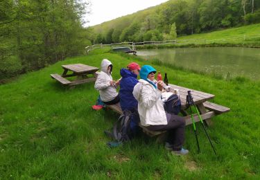
Trail Walking of 10.5 km to be discovered at Auvergne-Rhône-Alpes, Loire, Saint-Joseph. This trail is proposed by SyMA.
départ St Joseph parking du centre prés de mairie


Walking
Walking

Walking

Walking
Walking

Walking
Walking
Walking
Walking