


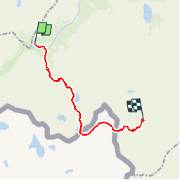

18.8 km | 31 km-effort

User


FREE GPS app for hiking
 SityTrail
IGN / Geographical institutes
SityTrail World
The world is yours!
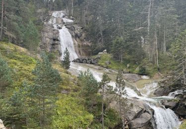
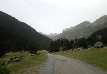
Trail Walking of 9.2 km to be discovered at Occitania, Hautespyrenees, Cauterets. This trail is proposed by tracegps.
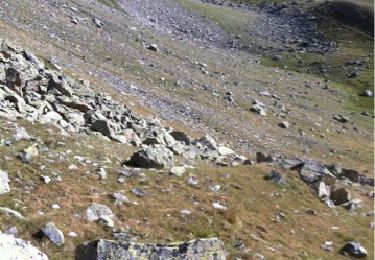
Une belle randonnée de haute montagne qui permet de découvrir la vallée d'Arratille. Attention aux passages aux col d'Arratille et col des Mulets qui peuvent s'avérer délicats en présence de névés.


Walking
Walking
Walking
Walking
Walking
Walking
Walking
Walking
Walking