Trail Walking Aucun - Le Pic de Bazès - Photo
 tracegps
tracegps

User

© OpenStreetMap contributors
Length
Length
6.1 km
Max alt
Max alt
1774 m
Uphill gradient
Uphill gradient
454 m
Km-Effort
Km-Effort  
12.1 km
Min alt
Min alt
1369 m
Downhill gradient
Downhill gradient
456 m
Boucle
Boucle
Yes
Creation date :
2014-12-10 00:00:00.0
Updated on :
2014-12-10 00:00:00.0

(0 Reviews)

Walking
Walking
1h25
Difficulty : Difficult

Scan this QR Code to open this trail in the SityTrail application

FREE GPS app for hiking

Logo SityTrail SityTrail

IGN / Geographical institutes

Download SityTrail from the App Store Download SityTrail from Google Play

Logo SityTrail SityTrail World

The world is yours!

Download SityTrail from the App Store Download SityTrail from Google Play Download SityTrail on Huawei AppGallery

About

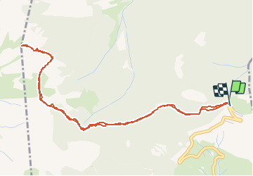
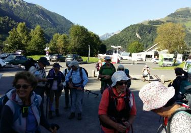
Trail Walking of 6.1 km to be discovered at Occitania, Hautespyrenees, Aucun. This trail is proposed by tracegps.

Description

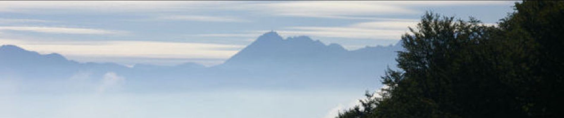
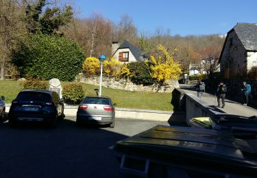
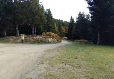
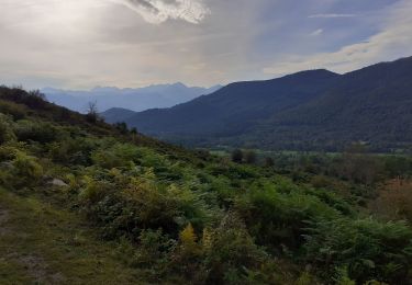
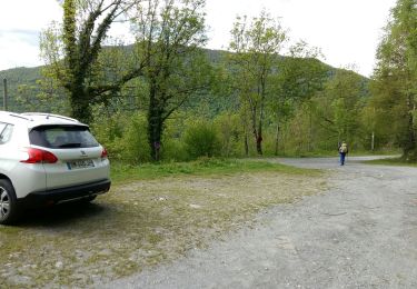
Garer la voiture au col de la Coraduque et remonter le chemin derrière le café. A la croisée des chemins au col de la Serre (800m) prendre à gauche puis 200m plus loin à droite. Après environ 800m on rejoint une route que l'on quitte 300m plus loin pour rejoindre le col de Bazès en contre bas. Le Pic de Bazès nous fait face! Le chemin passe dans des éboulis pour rejoindre la lisière du Bois de la Plape. On remonte ensuite en lacets la pente raide qui nous mène au Pic de Bazès. Magnifique panorama. Le retour se fait par le même chemin.

Elevation profile

Photos

Positioning

Country:
France
Region :
Occitania
Department/Province :
Hautespyrenees
Municipality :
Aucun
Location:
Unknown
Start:(UTM)
728018 ; 4763641 (30T) N.

Trails nearby

Trail Walking Arcizans-Dessus - la fontaine de Nabias - Photo
Walking
bernardbelmas

Walking

Very easy
(1)
Arcizans-Dessus, Occitania, Hautespyrenees, France
4.2 km | 6.8 km-effort
1h 40min
Yes
Trail Snowshoes Aucun - Le Soum de Berducou - Photo
Snowshoes
tracegps

Snowshoes

Medium
(1)
Aucun, Occitania, Hautespyrenees, France
5.3 km | 9.6 km-effort
3h 15min
Yes
Trail Walking Gaillagos - GAILLAGOS / Couret / Couraduque en boucle reco G3 - Photo
Walking
GUIDE
marmotte65

Walking

Difficult
Gaillagos, Occitania, Hautespyrenees, France
8.4 km | 14.3 km-effort
2h 30min
Yes
Trail On foot Aucun - AUCUN Couraduque  Le Berbeillet autrement G3 2976337 - Photo
On foot
GUIDE
marmotte65

On foot

Easy
Aucun, Occitania, Hautespyrenees, France
9.5 km | 14.2 km-effort
2h 13min
Yes
Trail Walking Salles - SALLES Le col d'Andorre avec nos voisins pierrefittois - Photo
Walking
GUIDE
marmotte65

Walking

Difficult
Salles, Occitania, Hautespyrenees, France
7.5 km | 13.2 km-effort
2h 52min
Yes
Trail Walking Arrens-Marsous - ARRENS MARSOUS Le Turon des aulhes    2906361 - Photo
Walking
GUIDE
marmotte65

Walking

Medium
(1)
Arrens-Marsous, Occitania, Hautespyrenees, France
9.5 km | 16.4 km-effort
5h 55min
Yes
Trail On foot Salles - SALLES-ARGELES col d'Andorre et soum de Leiz (ou pas)  2796042 - Photo
On foot
GUIDE
marmotte65

On foot

Easy
Salles, Occitania, Hautespyrenees, France
8.2 km | 14 km-effort
3h 10min
Yes
Trail Winter sports Aucun - couraduc soulor - Photo
Winter sports
ehresmann

Winter sports

Difficult
(1)
Aucun, Occitania, Hautespyrenees, France
34 km | 45 km-effort
2h 31min
Yes
Trail Winter sports Aucun - Bazes soulor - Photo
Winter sports
ehresmann

Winter sports

Medium
(1)
Aucun, Occitania, Hautespyrenees, France
25 km | 34 km-effort
2h 4min
Yes


Close
My subscriptions