


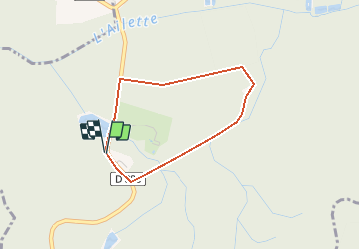


10.8 km | 13.4 km-effort


User


FREE GPS app for hiking
 SityTrail
IGN / Geographical institutes
SityTrail World
The world is yours!
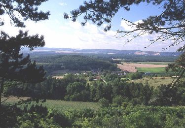
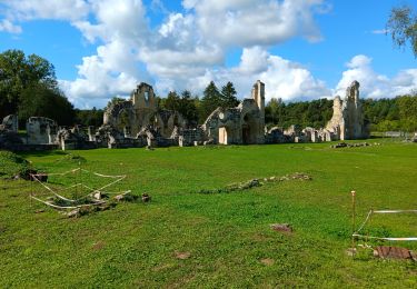
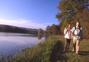
Trail Walking of 2.6 km to be discovered at Hauts-de-France, Aisne, Bouconville-Vauclair. This trail is proposed by tracegps.
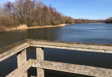
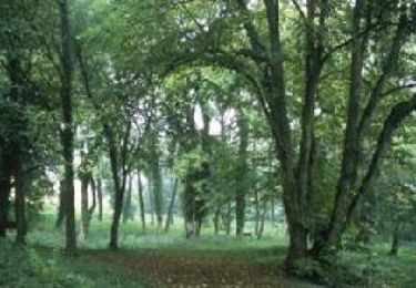
A partir de l'ancienne abbaye de Vauclair, cette promenade qui n'excède pas trois quarts d'heure propose de découvrir deux curiosités forestières : le chêne de l'inspecteur général Cuif, ainsi que l'étang des Moines. Toutes les infos sont ICI


Walking
Walking
Walking
Walking
Walking
Walking
Mountain bike

Walking
Walking