


18 km | 22 km-effort


User


FREE GPS app for hiking
 SityTrail
IGN / Geographical institutes
SityTrail World
The world is yours!
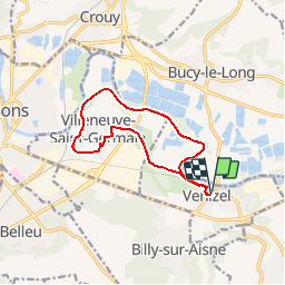
Trail Walking of 10.8 km to be discovered at Hauts-de-France, Aisne, Venizel. This trail is proposed by tracegps.
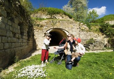
Entre Venizel et Villeneuve, l'Aisne a été canalisée. Cette promenade sans souci en longe les bords, permettant de rêver devant le spectacle des péniches à la grande écluse de Villeneuve, avant de revenir par la butte boisée du Moulin. Toutes les infos sont ICI


Walking
Walking
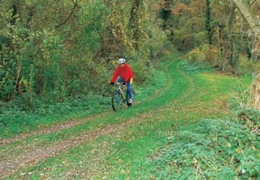
Cycle
Walking
Walking
Walking
Walking
Walking
Mountain bike
excellent