


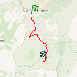

19.8 km | 37 km-effort


User


FREE GPS app for hiking
 SityTrail
IGN / Geographical institutes
SityTrail World
The world is yours!
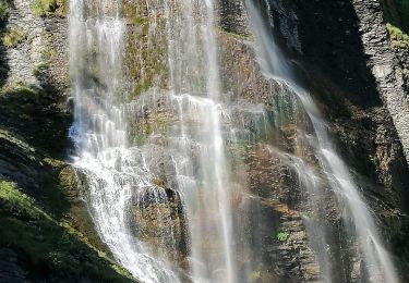
Trail Walking of 15.2 km to be discovered at Auvergne-Rhône-Alpes, Upper Savoy, Sixt-Fer-à-Cheval. This trail is proposed by tracegps.
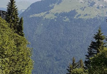
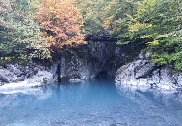
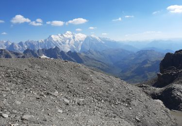
Via Alpina - R111: Salvagny > Refuge de Moëde-Anterne. Etape contrastée qui démarre en plaine pour rejoindre, par un passage au collet d’Anterne, l’environnement minéral de la montagne d’Anterne, classée réserve naturelle. Le point d’étape est fixé au refuge de Moëde-Anterne situé juste sous le col d’Anterne qui offre un beau panorama sur le massif du Mont-Blanc. Randonnée alpine (passage équipé ou très exposé, névé, blocs). Description complète de l’étape sur Via-Alpina.org.


Walking
Walking
Walking

Walking
Walking
Walking

Walking
Walking

Walking