Trail Walking Saint-Sauveur-sur-Tinée - Via Alpina - D58: St Sauveur-sur-Tinée > St-Martin-Vésubie - Photo

Via Alpina - D58: St Sauveur-sur-Tinée > St-Martin-Vésubie

 tracegps
tracegps

User

© OpenStreetMap contributors
Length
Length
18.1 km
Max alt
Max alt
1507 m
Uphill gradient
Uphill gradient
1250 m
Km-Effort
Km-Effort  
33 km
Min alt
Min alt
487 m
Downhill gradient
Downhill gradient
748 m
Boucle
Boucle
No
Creation date :
2014-12-10 00:00:00.0
Updated on :
2014-12-10 00:00:00.0

(1 Reviews)

Walking
Walking
6h00
Difficulty : Very difficult

Scan this QR Code to open this trail in the SityTrail application

FREE GPS app for hiking

Logo SityTrail SityTrail

IGN / Geographical institutes

Download SityTrail from the App Store Download SityTrail from Google Play

Logo SityTrail SityTrail World

The world is yours!

Download SityTrail from the App Store Download SityTrail from Google Play Download SityTrail on Huawei AppGallery

About

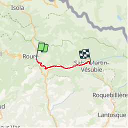
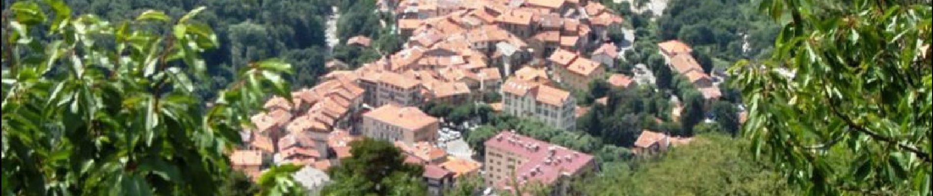
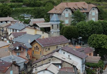
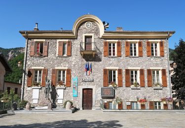
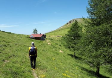
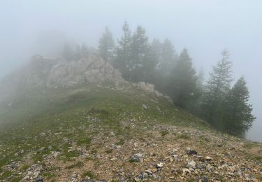
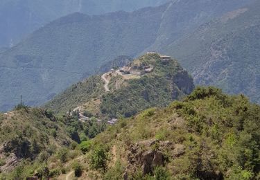
Trail Walking of 18.1 km to be discovered at Provence-Alpes-Côte d'Azur, Maritime Alps, Saint-Sauveur-sur-Tinée. This trail is proposed by tracegps.

Description

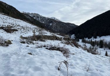
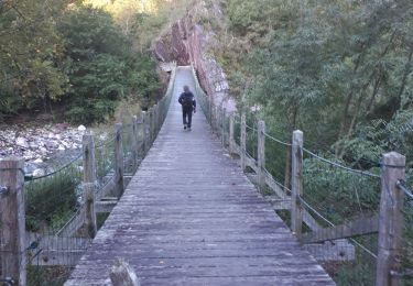
Via Alpina - D58: St Sauveur-sur-Tinée > St-Martin-Vésubie. Cette étape quitte St-Sauveur-sur-Tinée par le GR 5 pour rejoindre le Valdeblore et ses hameaux (Rimplas, La Bolline, La Roche puis St-Dalmas et la station de La Colmiane), avant de plonger par le GR 52A vers le village médiéval fortifié de St-Martin-Vésubie, capitale de la « Suisse niçoise » et point d’étape. Randonnée alpine (passage équipé ou très exposé, névé, blocs). Description complète de l’étape sur Via-Alpina.org.

Elevation profile

Photos

Positioning

Country:
France
Region :
Provence-Alpes-Côte d'Azur
Department/Province :
Maritime Alps
Municipality :
Saint-Sauveur-sur-Tinée
Location:
Unknown
Start:(UTM)
348265 ; 4883039 (32T) N.

Comments

Please log in to post a review or rate the element


Trails nearby

Trail On foot Rimplas - Circuit de la Couletta - Photo
On foot
PRO

On foot

Easy
Rimplas, Provence-Alpes-Côte d'Azur, Maritime Alps, France
6.5 km | 11.9 km-effort
2h 42min
Yes
Trail On foot Roure - Circuit de Roure - Photo
On foot
PRO

On foot

Easy
(1)
Roure, Provence-Alpes-Côte d'Azur, Maritime Alps, France
7.6 km | 15.6 km-effort
3h 33min
Yes
Trail Walking Roure - Mont Autcellier - Photo
Walking
fredopaca

Walking

Easy
(1)
Roure, Provence-Alpes-Côte d'Azur, Maritime Alps, France
18 km | 31 km-effort
5h 48min
Yes
Trail Walking Roure - Mont Autcellier de Roure au Refuge Longon J1 - Photo
Walking
GrouGary

Walking

Medium
Roure, Provence-Alpes-Côte d'Azur, Maritime Alps, France
10 km | 19.2 km-effort
4h 21min
No
Trail Walking Roure - Mont Gravières - Photo
Walking
bozo1970

Walking

Very difficult
Roure, Provence-Alpes-Côte d'Azur, Maritime Alps, France
13.4 km | 26 km-effort
4h 22min
Yes
Trail Walking Saint-Sauveur-sur-Tinée - Mollières Hiver - Photo
Walking
bozo1970

Walking

Very difficult
Saint-Sauveur-sur-Tinée, Provence-Alpes-Côte d'Azur, Maritime Alps, France
18 km | 31 km-effort
5h 1min
Yes
Trail Walking Saint-Sauveur-sur-Tinée - St Sauveur Tinee par Abeliera - Photo
Walking
GrouGary

Walking

Difficult
Saint-Sauveur-sur-Tinée, Provence-Alpes-Côte d'Azur, Maritime Alps, France
14.6 km | 27 km-effort
5h 9min
Yes
Trail Walking Rimplas - Rimplas - La Couletta - Photo
Walking
PhilB24

Walking

Medium
Rimplas, Provence-Alpes-Côte d'Azur, Maritime Alps, France
6.8 km | 12.7 km-effort
2h 1min
Yes
Trail Walking Roure - Mont Autcellier - Photo
Walking
patsure

Walking

Medium
Roure, Provence-Alpes-Côte d'Azur, Maritime Alps, France
16.9 km | 29 km-effort
4h 5min
Yes


Close
My subscriptions