


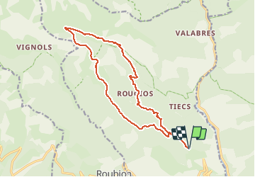

18.1 km | 33 km-effort


User


FREE GPS app for hiking
 SityTrail
IGN / Geographical institutes
SityTrail World
The world is yours!
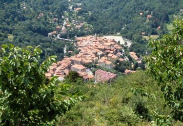
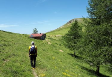
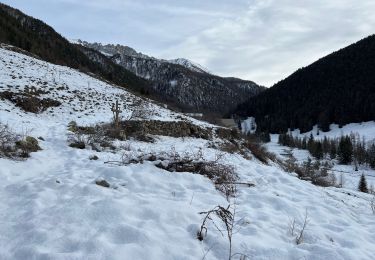
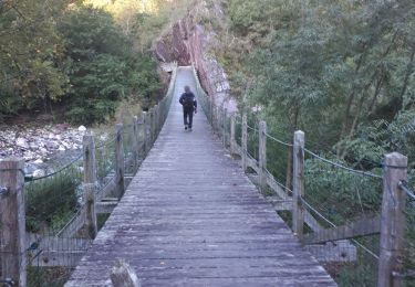
Trail Walking of 18 km to be discovered at Provence-Alpes-Côte d'Azur, Maritime Alps, Roure. This trail is proposed by fredopaca.
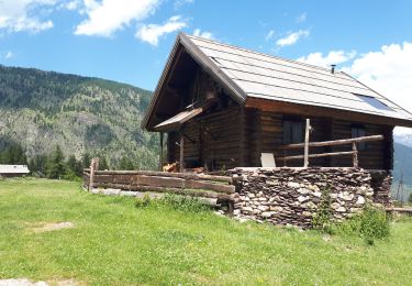
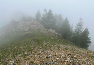
départ balise 241 vers 254 250 refuge de LONGON Gr5 balise 278 prendre le Pervoux mont Autcellier redescendre crête de la Clauetta balise 252 et 251 foret de la Fracha retour balise 254 et 241
Walking
On foot
On foot
Walking
Walking
Walking
Walking
Walking
Walking
supernement varié. marmotte