


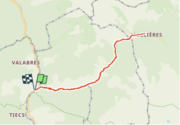

18.1 km | 33 km-effort

User


FREE GPS app for hiking
 SityTrail
IGN / Geographical institutes
SityTrail World
The world is yours!
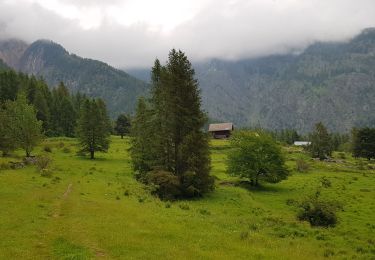
Trail Walking of 18 km to be discovered at Provence-Alpes-Côte d'Azur, Maritime Alps, Saint-Sauveur-sur-Tinée. This trail is proposed by bozo1970.
Montée depuis la Tinée balise 259
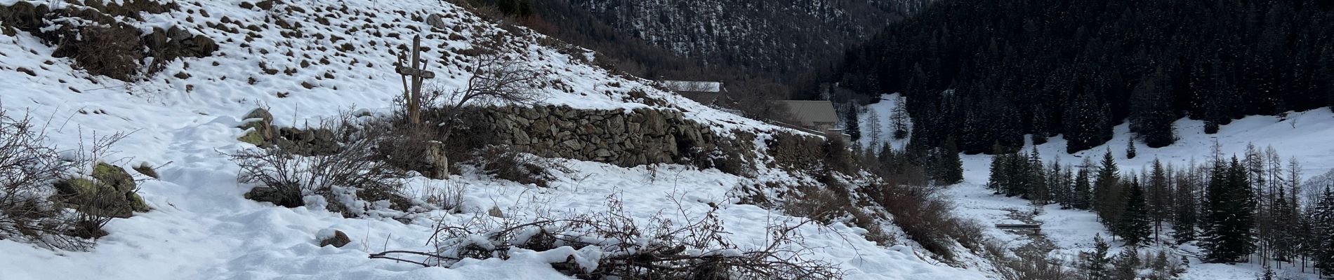
Sentier effondré sur 5 passages suite à la tempête Alex sapins éclatés en travers
Danger sentier interdit au public !!
Mollières en 2h40' sur 9 km et D 940m
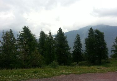
Cramponnage sur les 2 derniers kilomètres
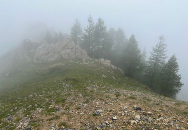
Neige à 1500m
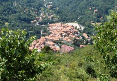
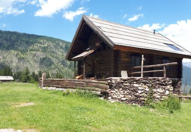
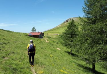
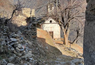
Hameau désert, féérique !!
Jolie vue sur le Mont St Sauveur au sud ouest
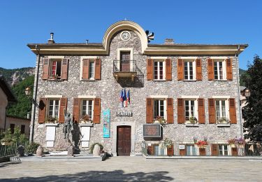
Très agréable sortie


Walking
On foot

Walking
Walking
Walking
Walking
Walking
Walking
Walking