


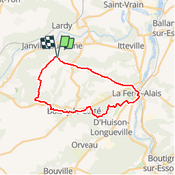

18.3 km | 22 km-effort

User


FREE GPS app for hiking
 SityTrail
IGN / Geographical institutes
SityTrail World
The world is yours!
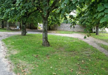
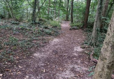
Trail Walking of 22 km to be discovered at Ile-de-France, Essonne, Janville-sur-Juine. This trail is proposed by tracegps.
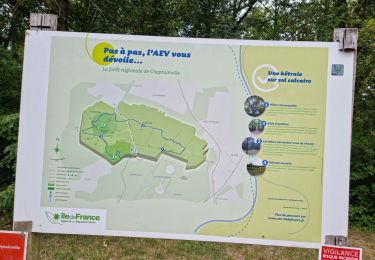
Circuit proposé par le Comité Départemental de Randonnée des Hauts de Seine. Curiosités : Eglise et lavoir de Cerny, mer de sable de Villeneuve-sur-Auvers, Trou du Sarrazin, Rocher Bizet. Départ : Janville sur Juine, ferme de Pocancy ou gare de la-Ferté-Allais. Descriptif : GR1, Pocancy, Vallée Gommier, le Parc-aux-oeufs ... GR11, le Pont de Villiers, la Porte de Baulne, la Ferté Allais ....GR111a, Presles Château, Cerny, le Trou aux Loups (variante 28 km, d'Huison-Longueville ... GR1, la Croix Quatre-Chemins, trompe Vache, Rocher Bizet, Boissy-le-Cutté)... PR Butte Chaumont ... GR11, Boissy-le-Cutté (14 km), la Butte Blanche, GR 655, la Grange-des-Bois, Ferme de Pocancy. Des sentiers ont pu être modifiés depuis la dernière validation et les itinéraires proposés n’engagent pas la responsabilité du Comité. Signalez-nous les modifications rencontrées pour mise à jour de la randothèque.


Walking

Walking

Mountain bike
On foot

Walking
On foot
Walking
Walking
Walking