


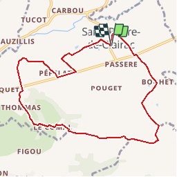

11.1 km | 15 km-effort


User


FREE GPS app for hiking
 SityTrail
IGN / Geographical institutes
SityTrail World
The world is yours!
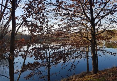
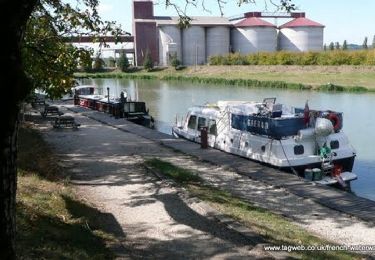
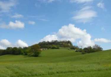
Trail Walking of 10 km to be discovered at New Aquitaine, Lot-et-Garonne, Saint-Pierre-de-Clairac. This trail is proposed by tracegps.
Saint Pierre de Clairac Cté de Communes des Deux Séounes. Si ce circuit se déroule d’abord dans la vallée de la Séoune, la seconde partie court sur un long plateau surplombant la vallée de la Garonne et les coteaux de Gascogne au sud. Au nord apparaissent les premiers escarpements du Pays de Serres. Téléchargez la fiche de cette randonnée sur le site du Tourisme du Lot et Garonne.

Walking

Mountain bike
Mountain bike

Mountain bike

Mountain bike
Walking
Walking
Cycle
Equestrian