


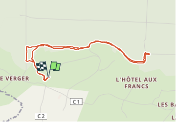

11.1 km | 13.8 km-effort

User


FREE GPS app for hiking
 SityTrail
IGN / Geographical institutes
SityTrail World
The world is yours!
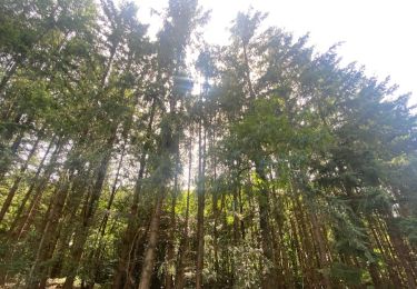
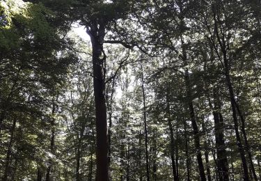
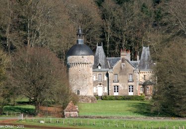
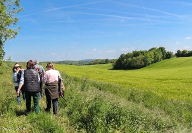
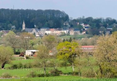
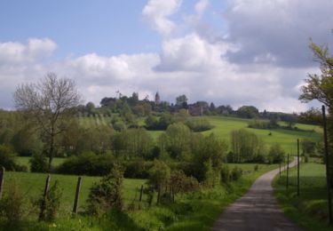
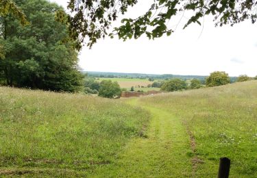
Trail Walking of 5 km to be discovered at Normandy, Orne, Belforêt-en-Perche. This trail is proposed by Krissray.


Walking
Walking
Walking
Walking
Walking
Walking
Walking

Car
![Trail Walking Belforêt-en-Perche - [Itinéraire] Le Chêne de l'école - Photo](https://media.geolcdn.com/t/375/260/ext.jpg?maxdim=2&url=https%3A%2F%2Fstatic1.geolcdn.com%2Fsiteimages%2Fupload%2Ffiles%2F1553511878bg_sport_marche.png)
Walking