


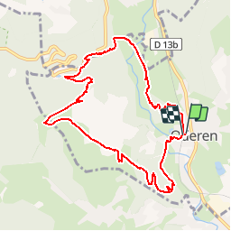


9.6 km | 16.5 km-effort

User


FREE GPS app for hiking
 SityTrail
IGN / Geographical institutes
SityTrail World
The world is yours!
Trail Walking of 9.5 km to be discovered at Grand Est, Haut-Rhin, Oderen. This trail is proposed by tracegps.
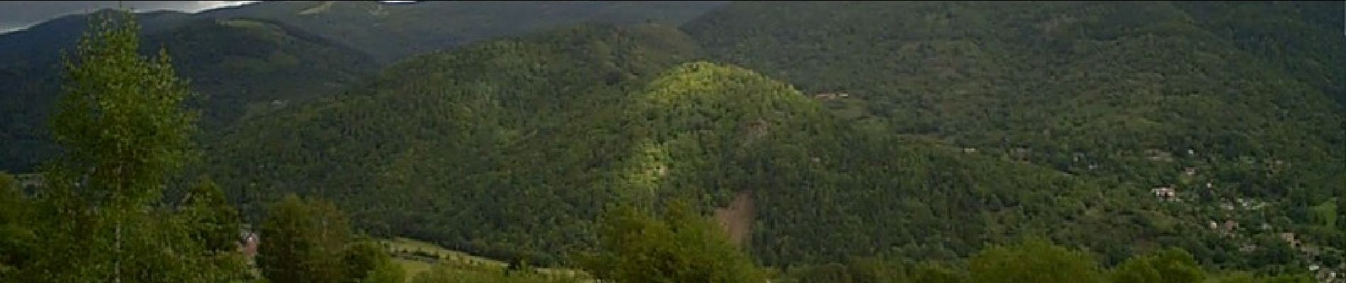
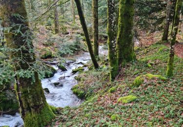
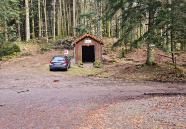
Cet itinéraire pédestre permet de découvrir le vallon de la Werschmatt, dans ses parties les plus rocheuses et escarpées. Ici, le ruisseau Saint-Nicolas dévale un ravin ombragé et forme de jolies petites cascades sur les blocs de granit. La chapelle Saint-Nicolas se trouve en bordure de la route du col d’Oderen sur le ban de la commune de Kruth. La chapelle actuelle était construit aux début du XIX éme siècle et remplace un sanctuaire situé un peu plus haut. A proximité se trouvait la hutte d’un ermite, gardien de la chapelle. Le ruisseau de Saint-Nicolas, descendant du col d’Oderen, cascade au fond du ravin entre les sapins et autres arbres. La cascade est un endroit très agréable et très frais. Le ravin étant très encaissé, le soleil a du mal à atteindre la cascade et donc à réchauffer l’atmosphère. Par les temps de canicule, cela est très agréable. Le haut de la cascade débute derrière la chapelle et un sentier permet de suivre sa descente vers la vallée. Balisage : anneau vert – anneau rouge – disque rouge – disque bleu – anneau bleu – disque jaune – triangle rouge – disque rouge – anneau vert. Départ : gare ou centre du village d’Oderen.


Walking
Walking

Walking

Mountain bike

Walking
Walking
Walking
Walking
Walking