


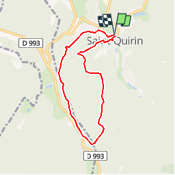


17 km | 23 km-effort

User


FREE GPS app for hiking
 SityTrail
IGN / Geographical institutes
SityTrail World
The world is yours!
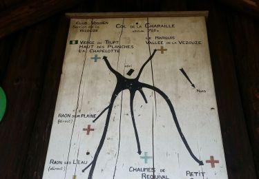
Trail Walking of 6.1 km to be discovered at Grand Est, Moselle, Saint-Quirin. This trail is proposed by tracegps.
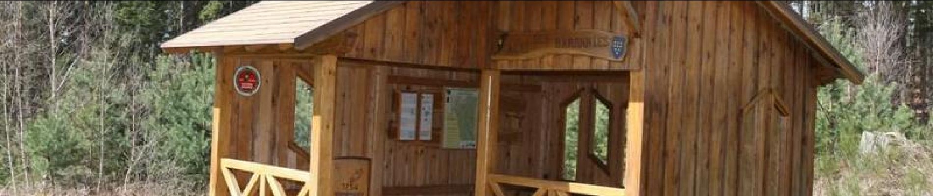
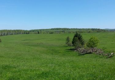
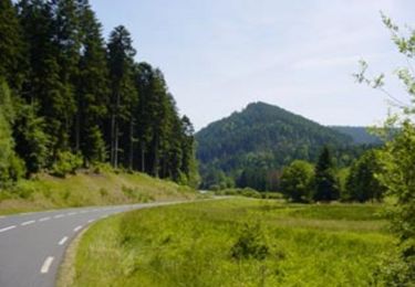
Ce circuit est une invitation à la découverte du riche patrimoine de Saint-Quirin. Et pour les amoureux des paysages un kiosque aménagé sur le parcours offre un beau point de vue sur la vallée de Saint-Quirin Pour plus de renseignements RDV sur www.moselle-rando.com


Walking
Cycle

Mountain bike
Mountain bike

Walking

Walking
On foot

Running
Horseback riding