


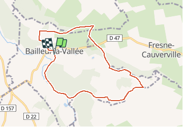


7.8 km | 8.7 km-effort

User


FREE GPS app for hiking
 SityTrail
IGN / Geographical institutes
SityTrail World
The world is yours!
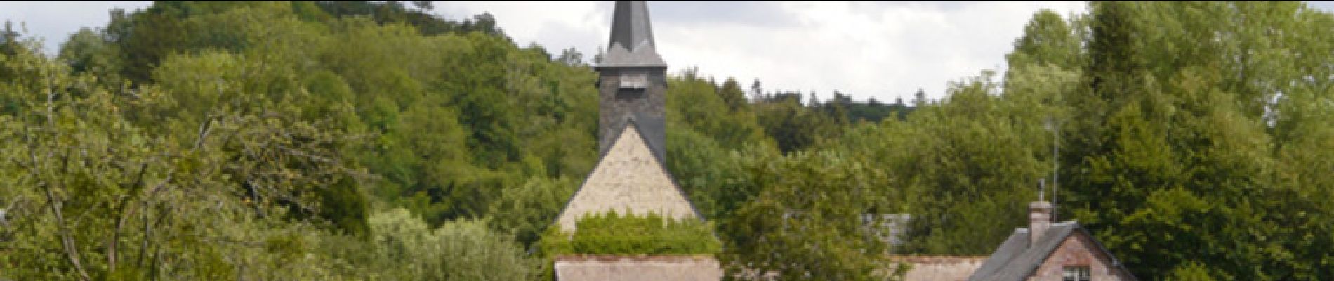
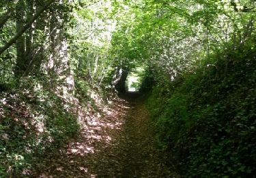
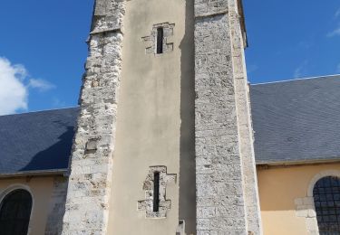
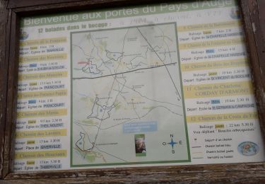
Trail Mountain bike of 8.1 km to be discovered at Normandy, Eure, Bailleul-la-Vallée. This trail is proposed by tracegps.

Walking
Walking
Cycle
Walking
Walking
Walking