


49 km | 74 km-effort


User


FREE GPS app for hiking
 SityTrail
IGN / Geographical institutes
SityTrail World
The world is yours!
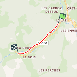
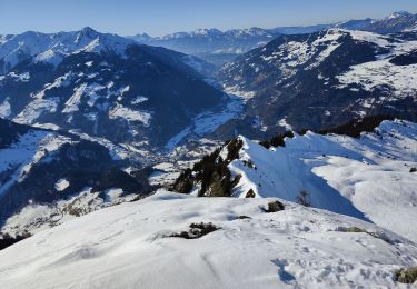
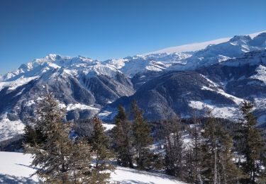
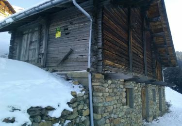
Trail Snowshoes of 2.4 km to be discovered at Auvergne-Rhône-Alpes, Savoy, Beaufort. This trail is proposed by albertville.
Boulevard de liaison Arêches-Le Planay

Cycle

Walking
Touring skiing
Walking
Walking
Touring skiing
Walking
Touring skiing
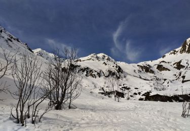
Snowshoes