


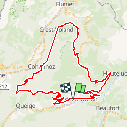

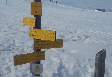
18.1 km | 28 km-effort

User


FREE GPS app for hiking
 SityTrail
IGN / Geographical institutes
SityTrail World
The world is yours!
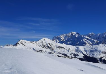
Trail Cycle of 49 km to be discovered at Auvergne-Rhône-Alpes, Savoy, Villard-sur-Doron. This trail is proposed by BrunoMounier.
Grande boucle assez difficile. Beaucoup de montées et aussi beaucoup de descentes…


Walking

Walking

Mountain bike

Walking

Walking
Walking
Snowshoes
Walking
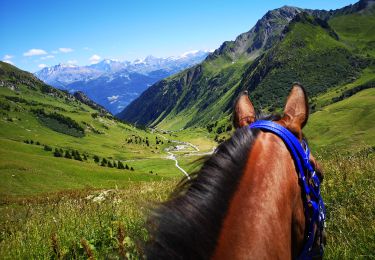
Horseback riding
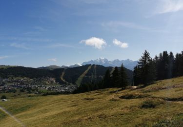
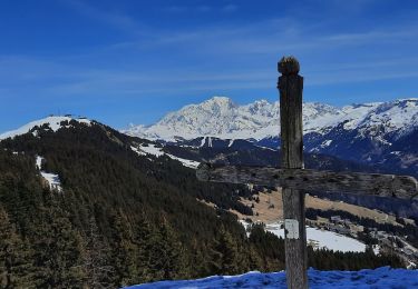
Magnifique boucle !!!