


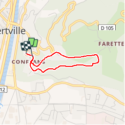


5.1 km | 8.9 km-effort


User


FREE GPS app for hiking
 SityTrail
IGN / Geographical institutes
SityTrail World
The world is yours!
Trail Walking of 2.6 km to be discovered at Auvergne-Rhône-Alpes, Savoy, Albertville. This trail is proposed by albertville.
Chemin de la Poterne des Vignes


Walking

Motor

Walking
Other activity
Cycle
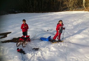
Snowshoes

Walking

Walking
Walking