


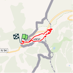


15.4 km | 32 km-effort

User


FREE GPS app for hiking
 SityTrail
IGN / Geographical institutes
SityTrail World
The world is yours!
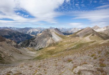
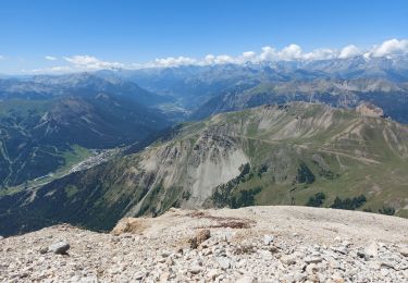
Trail Walking of 5.7 km to be discovered at Provence-Alpes-Côte d'Azur, Hautes-Alpes, Montgenèvre. This trail is proposed by patsure.
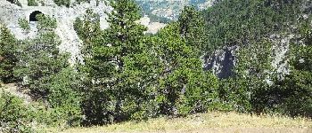
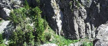
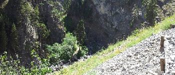
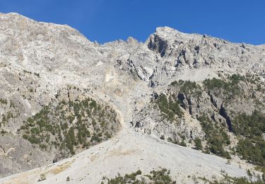
Gorge au bord de la Doire sous Clavière


Walking

Walking

Walking

Walking

Walking

Mountain bike
Walking
Walking
Walking