


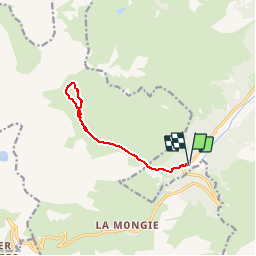

7.8 km | 15.7 km-effort

User


FREE GPS app for hiking
 SityTrail
IGN / Geographical institutes
SityTrail World
The world is yours!
Trail Walking of 10.2 km to be discovered at Occitania, Hautespyrenees, Campan. This trail is proposed by tracegps.
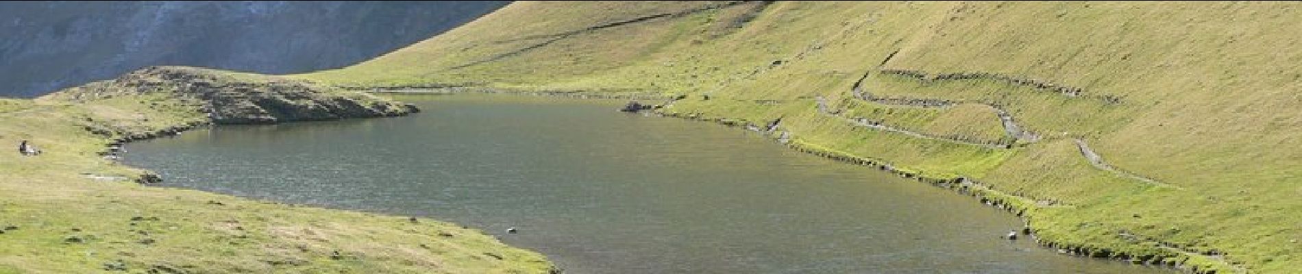
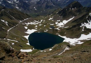
Départ au lieu dit « Artigues » sur la route de la Mongie (D918), parking d'un ancien hôtel. On passe par les granges de Tramezailgues avant d'aboutir à la cabane d'Arizes (ouverte l'hiver). On continue ensuite vers le lac d'Arizes au pied du col d'Aoube et du Taoulet d'Aouet. Superbe randonnée raquettes avec en point de mire le pic du Midi de Bigorre. Aucune difficulté.


On foot

Walking
Walking
Walking

Walking
Walking
Walking

Walking
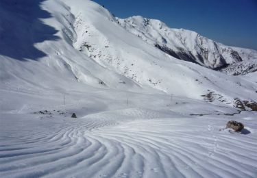
Snowshoes
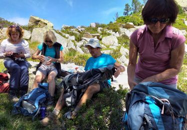
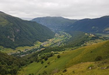
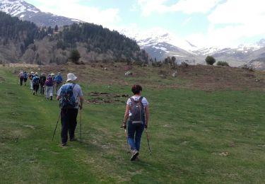
Certainement une très jolie randonnée que nous avons malheureusement fait dans le brouillard. Nous avons eu la chance que le ciel se dégage à l'arrivée où nous avons pu profiter du superbe panorama. Très jolie randonnée merci beaucoup pour le partage...