


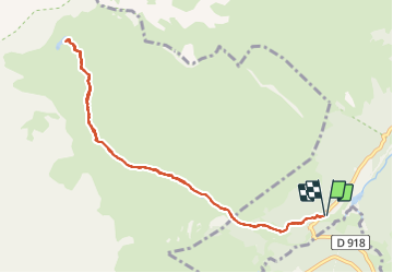

10.2 km | 20 km-effort


User


FREE GPS app for hiking
 SityTrail
IGN / Geographical institutes
SityTrail World
The world is yours!
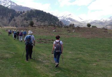
Trail Walking of 10.6 km to be discovered at Occitania, Hautespyrenees, Campan. This trail is proposed by SabetMick.
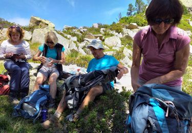
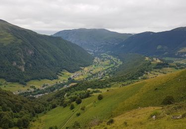
très jolie randonnée que nous avons malheureusement réalisé dans le brouillard. Nous avons eu la chance que le ciel se dégage à l'arrivée nous offre une superbe vue sur le panorama ainsi que sur le Pic du Midi. aAttention pas mal de dénivelé pour une montée avec les enfants en base âge...


Walking

On foot

Walking
Walking
Walking
Walking
Walking

Walking
Snowshoes