


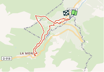


10.2 km | 20 km-effort


User


FREE GPS app for hiking
 SityTrail
IGN / Geographical institutes
SityTrail World
The world is yours!
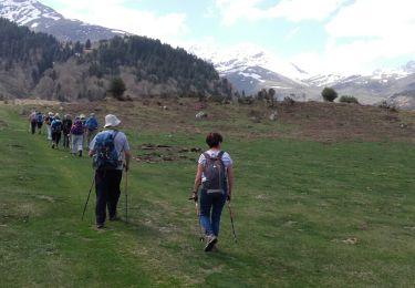
Trail On foot of 7.8 km to be discovered at Occitania, Hautespyrenees, Campan. This trail is proposed by JACQUESD.
Beau temps , il faut compter 8Kms , dénivelée bon

Walking

Walking
Walking
Walking

Walking
Walking
Walking

Walking
Snowshoes