


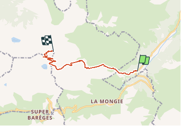

10.2 km | 20 km-effort


User


FREE GPS app for hiking
 SityTrail
IGN / Geographical institutes
SityTrail World
The world is yours!
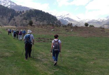
Trail Walking of 9.2 km to be discovered at Occitania, Hautespyrenees, Campan. This trail is proposed by doume82.
Par le Chemin des muletiers

Walking

On foot
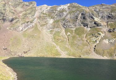
Walking
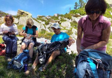
Walking
Walking

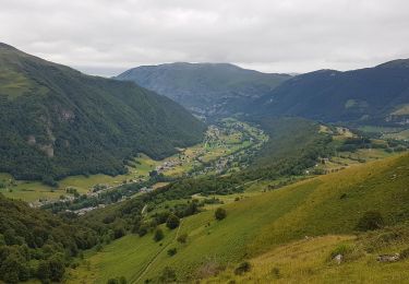
Walking

Walking
Walking

Walking
Très bien