


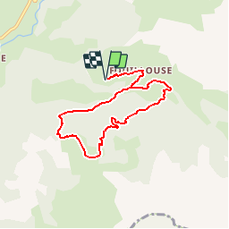

10.4 km | 15.4 km-effort


User


FREE GPS app for hiking
 SityTrail
IGN / Geographical institutes
SityTrail World
The world is yours!
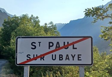
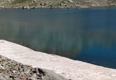
Trail Walking of 7.4 km to be discovered at Provence-Alpes-Côte d'Azur, Alpes-de-Haute-Provence, Saint-Paul-sur-Ubaye. This trail is proposed by tracegps.
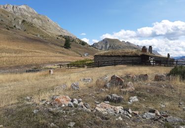
Au départ du parking, à l'entrée du lieu-dit « Fouillouse », boucle passant par un petit sentier non fréquenté à travers la forêt à l'aller. Passage dans les alpages à vaches, puis retour par un chemin classique. Aucun intérêt en VTT.


Walking

Walking

Other activity
Walking
Walking

Walking
Walking
Walking
Walking