


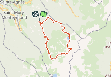


12.4 km | 21 km-effort

User


FREE GPS app for hiking
 SityTrail
IGN / Geographical institutes
SityTrail World
The world is yours!
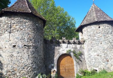
Trail Walking of 14.5 km to be discovered at Auvergne-Rhône-Alpes, Isère, Sainte-Agnès. This trail is proposed by gilbert.olier.
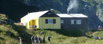
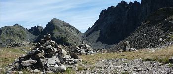
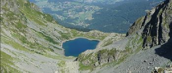
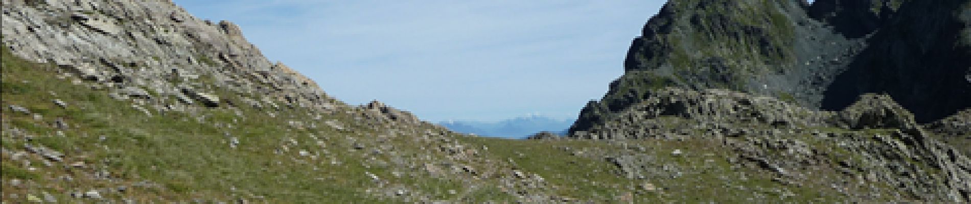
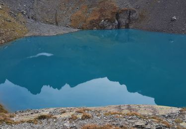
Belle sortie montagne dans le massif de Belledonne. Proche de Grenoble, cette randonnée minérale vous donnera satisfaction l'été. Attention aux névés tardifs, le dénivelé est à prendre au sérieux 1300 m pour 15 km. Vous pouvez faire un aller retour à la brèche de la Roche Fendue pour une vue sur les 7 Laux. Dans ce cas vous passerez à 1500 m de dénivelé. Dans le massif de Belledonne l'eau n'est pas un problème, les sources et ruisseaux sont en nombres. Attention quand même à la qualité de l'eau car il y a des troupeaux.


Walking
On foot
On foot
Walking
Walking
Walking
Walking
Walking
Walking