


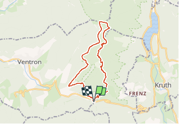

15 km | 24 km-effort

User


FREE GPS app for hiking
 SityTrail
IGN / Geographical institutes
SityTrail World
The world is yours!
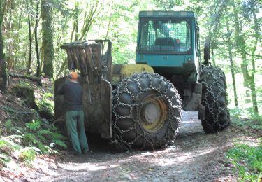
Trail Snowshoes of 13.7 km to be discovered at Grand Est, Vosges, Ventron. This trail is proposed by tracegps.
Rando effectuée en raquette, avec une halte pour manger à la ferme auberge. Départ du col d'Oderen.


Walking

Snowshoes

Walking

Walking

Mountain bike
Walking
On foot
On foot
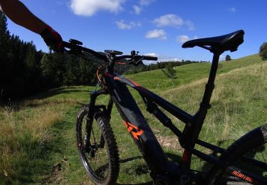
Mountain bike