


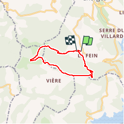

5.9 km | 8.2 km-effort


User


FREE GPS app for hiking
 SityTrail
IGN / Geographical institutes
SityTrail World
The world is yours!
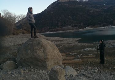
Trail Walking of 11 km to be discovered at Provence-Alpes-Côte d'Azur, Hautes-Alpes, Chorges. This trail is proposed by BLANCHET.
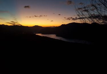
sous la pluie ...

Walking

Walking
Walking
Walking
Walking
Walking
Walking
Walking
Walking
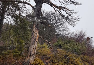
Très jolies vues. Continuer jusqu'au pic de Colombis.
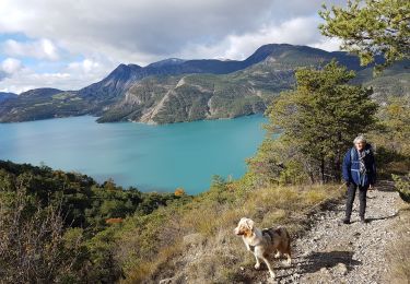
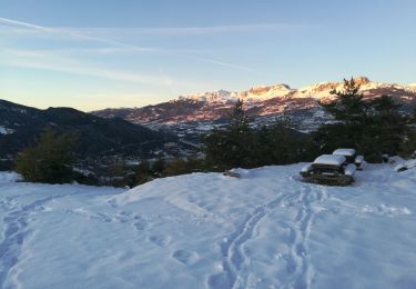
très jolie randonnée sur des sentiers bordés d 'eglantiers en fleurs avec vue panoramique sur le lac.