


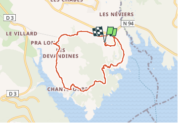

5.9 km | 8.2 km-effort

User


FREE GPS app for hiking
 SityTrail
IGN / Geographical institutes
SityTrail World
The world is yours!
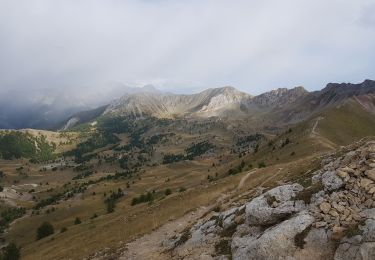
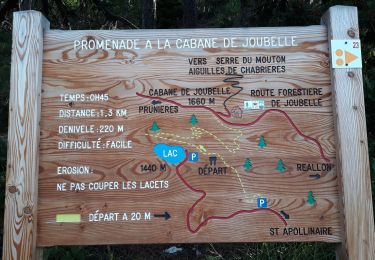
Trail Walking of 8.7 km to be discovered at Provence-Alpes-Côte d'Azur, Hautes-Alpes, Chorges. This trail is proposed by jll7513.
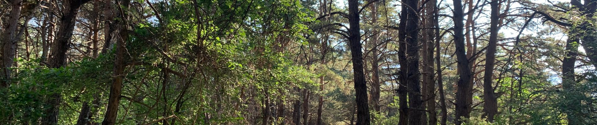
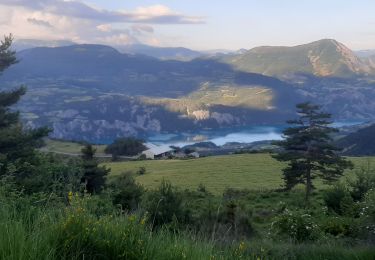
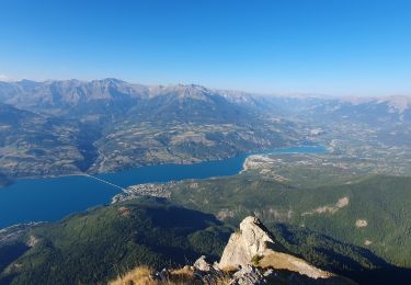
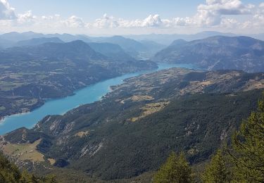
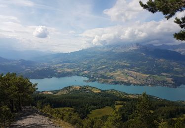
De belles vues sur le lac. De bonne heure le matin plutôt ombragé.


Walking

Walking
Walking
Walking
Walking
Walking
Walking
Walking

Walking