


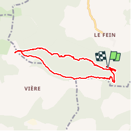

5.9 km | 8.2 km-effort


User


FREE GPS app for hiking
 SityTrail
IGN / Geographical institutes
SityTrail World
The world is yours!
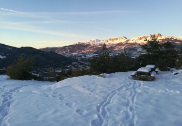
Trail Walking of 8 km to be discovered at Provence-Alpes-Côte d'Azur, Hautes-Alpes, Chorges. This trail is proposed by Didier.kiehl.
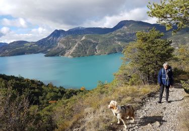
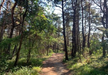
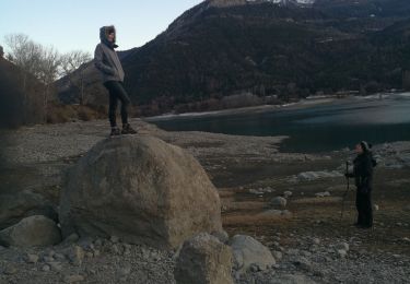
belle balade sous les bois avec un point de vue sur le lac du serre ponton une bonne mise en jambes pour ce remettre à la randonnée pédestre.


Walking

Walking
Walking
Walking
Walking
Walking
Walking
Walking
Walking
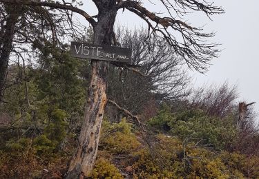
Petite boucle sympathique, beau point de vue.