Trail Walking Moussey - Col de Prayé - Photo

Col de Prayé

© OpenStreetMap contributors
Length
Length
16.8 km
Max alt
Max alt
924 m
Uphill gradient
Uphill gradient
483 m
Km-Effort
Km-Effort  
23 km
Min alt
Min alt
683 m
Downhill gradient
Downhill gradient
485 m
Boucle
Boucle
Yes
Creation date :
2014-12-10 00:00:00.0
Updated on :
2014-12-10 00:00:00.0

(1 Reviews)

Walking
Walking
6h55
Difficulty : Difficult

Scan this QR Code to open this trail in the SityTrail application

FREE GPS app for hiking

Logo SityTrail SityTrail

IGN / Geographical institutes

Download SityTrail from the App Store Download SityTrail from Google Play

Logo SityTrail SityTrail World

The world is yours!

Download SityTrail from the App Store Download SityTrail from Google Play Download SityTrail on Huawei AppGallery

About

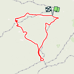
Trail Walking of 16.8 km to be discovered at Grand Est, Vosges, Moussey. This trail is proposed by VacheKiri67.

Description

Distance 16,8km - Dénivelée 660m
Balisage : anneau bleu - disque rouge - triangle rouge - croix rouge.
Faite le 16/06/2013 en 6h55 (dont 1h00 de pause) avec notre fils de 8 ans, son Papy et sa Mamie.

Elevation profile

Photos

Positioning

Country:
France
Region :
Grand Est
Department/Province :
Vosges
Municipality :
Moussey
Location:
Unknown
Start:(UTM)
360857 ; 5371199 (32U) N.

Comments

Please log in to post a review or rate the element


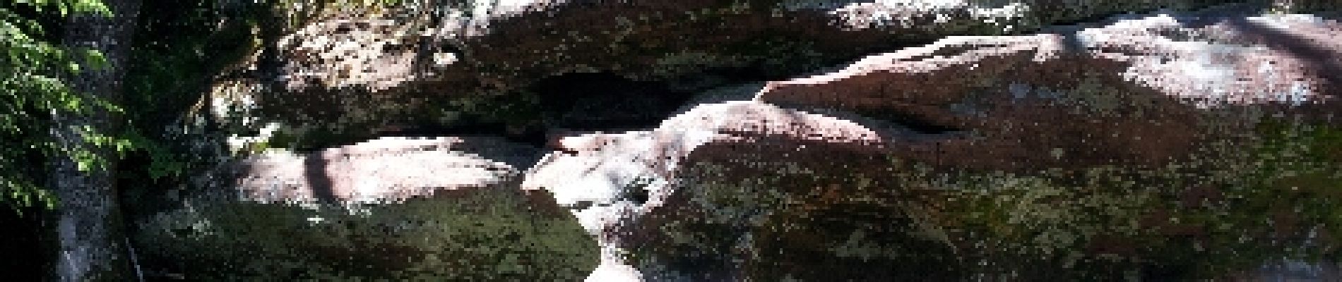
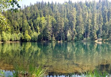
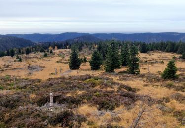
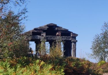
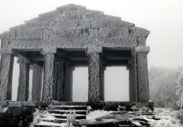
Un randonnée magnifique dans le massif des Blanches-Roches.


Trails nearby

Trail Walking Grandfontaine - Donon sentier des casemates - sud - Photo
Walking
VacheKiri67

Walking

Medium
(1)
Grandfontaine, Grand Est, Bas-Rhin, France
12.6 km | 16.9 km-effort
4h 13min
Yes
Trail Walking Grandfontaine - Le site des 2 Donons - Photo
Walking
VacheKiri67

Walking

Medium
(4)
Grandfontaine, Grand Est, Bas-Rhin, France
12.6 km | 19.4 km-effort
4h 52min
Yes
Trail Walking La Broque - 2013-05-18 Marche Ruines de Salm - Photo
Walking
GUIDE
holtzv

Walking

Very easy
(2)
La Broque, Grand Est, Bas-Rhin, France
6.9 km | 10.6 km-effort
2h 38min
Yes
Trail Walking Grandfontaine - 2023-05-29 Marche Les Minières Lac de la Maix - Photo
Walking
GUIDE
holtzv

Walking

Medium
Grandfontaine, Grand Est, Bas-Rhin, France
22 km | 34 km-effort
7h 43min
Yes
Trail Walking La Broque - 2023-05-13 Marche Sentier des Passeurs Salm - Photo
Walking
GUIDE
holtzv

Walking

Medium
La Broque, Grand Est, Bas-Rhin, France
25 km | 36 km-effort
7h 49min
Yes
Trail Walking Grandfontaine - 2022-11-12 Marche Grandfontaine Tête Mathis Col de Praye La Corbeille - Photo
Walking
GUIDE
holtzv

Walking

Medium
Grandfontaine, Grand Est, Bas-Rhin, France
15.3 km | 23 km-effort
4h 34min
Yes
Trail Walking Grandfontaine - 2020-09-20 Marche Donon Petit Donon Casemates - Photo
Walking
GUIDE
holtzv

Walking

Very easy
(1)
Grandfontaine, Grand Est, Bas-Rhin, France
13.4 km | 20 km-effort
4h 17min
Yes
Trail Walking Grandfontaine - 2019-01-05 Marche Temple du Donon - Photo
Walking
GUIDE
holtzv

Walking

Medium
Grandfontaine, Grand Est, Bas-Rhin, France
5.6 km | 9.3 km-effort
1h 54min
Yes
Trail Walking Raon-sur-Plaine - Cascade de la Crache - Photo
Walking
Le_Grand

Walking

Easy
(1)
Raon-sur-Plaine, Grand Est, Vosges, France
3.8 km | 5.9 km-effort
1h 16min
Yes


Close
My subscriptions