


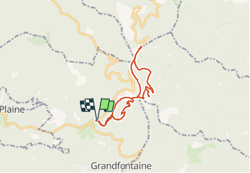


12.6 km | 16.9 km-effort

User


FREE GPS app for hiking
 SityTrail
IGN / Geographical institutes
SityTrail World
The world is yours!
Trail Walking of 12.6 km to be discovered at Grand Est, Bas-Rhin, Grandfontaine. This trail is proposed by VacheKiri67.
Faite le 30/06/2013 en 4h50 (dont 0h50 de pauses) avec notre fils de 8 ans.
D'après : Passion Vosges - La Haute-Bruche N°04 Page 48
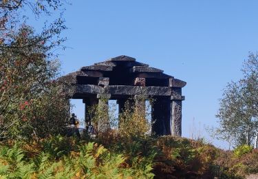
Le site des deux Donons
Mais sens modifié.


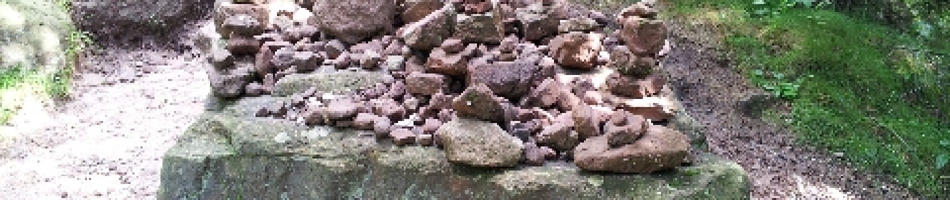
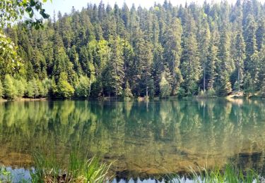
21 photos in total. Please click on a photo to see them all in the gallery.

Walking

Walking
Walking
Walking
Walking
On foot
Walking

Walking

Walking
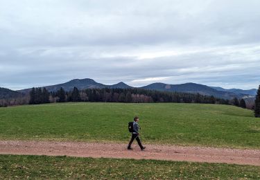
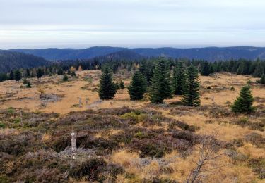
Superbe parcours à la découverte des 2 Donon par une belle journée ensoleillée et avec les sentiers enneigés.
Autant vous croiserez du monde sur le Donon, autant vous serez seuls sur le Petit Donon ! Vous y trouverez une vue magnifique.