


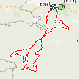


12.6 km | 19.4 km-effort

User


FREE GPS app for hiking
 SityTrail
IGN / Geographical institutes
SityTrail World
The world is yours!
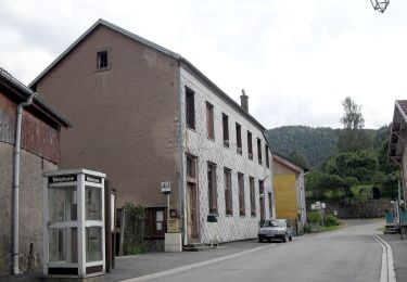
Trail Walking of 12.6 km to be discovered at Grand Est, Bas-Rhin, Grandfontaine. This trail is proposed by VacheKiri67.
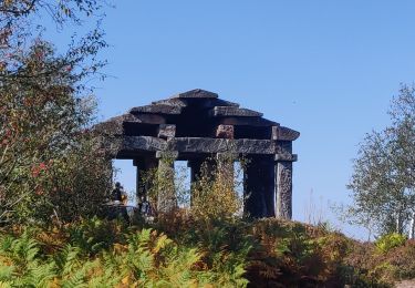
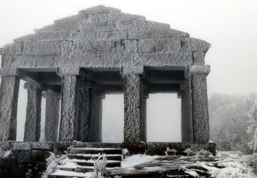
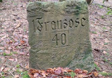
Faite le 24/05/2015 avec notre fils de 10 ans. Balisage anneau rouge. Lampe de poche obligatoire pour la passionnante traversée des ouvrages. D'après "Passion Vosges - Les sentiers de mémoire" N°4 : Positions fortifiées du Donon sentier des casemates - sud.


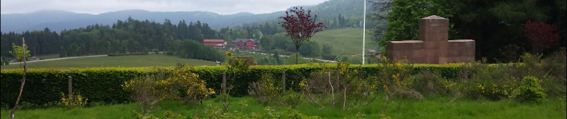
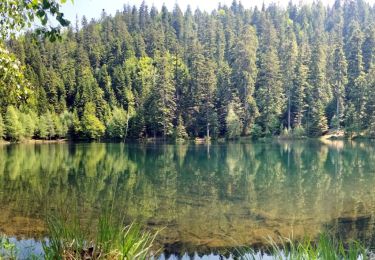
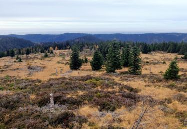
30 photos in total. Please click on a photo to see them all in the gallery.

Walking

Walking
Walking
Walking
On foot
Walking
Walking

Walking
Walking
La traversée des ouvrages, dont un tunnel de 60 mètres, vaut vraiment le coup ! Lampe de poche obligatoire.