


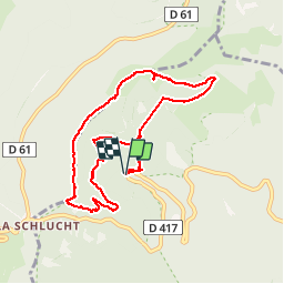

15.6 km | 26 km-effort

User

FREE GPS app for hiking
 SityTrail
IGN / Geographical institutes
SityTrail World
The world is yours!
Trail Walking of 8.5 km to be discovered at Grand Est, Haut-Rhin, Stosswihr. This trail is proposed by ocepee.
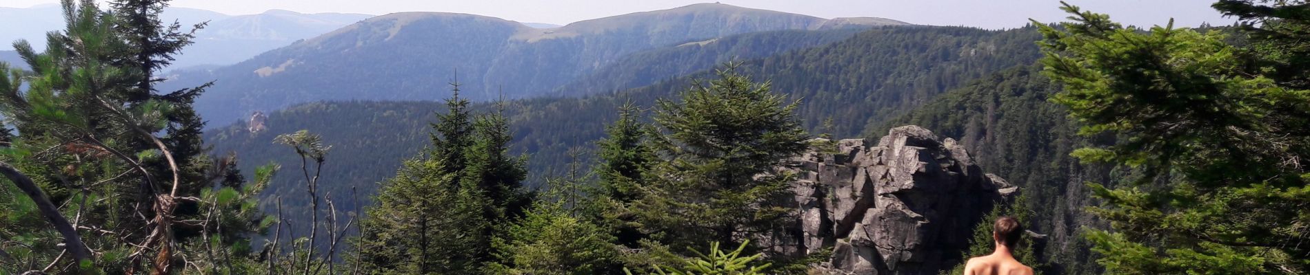
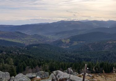
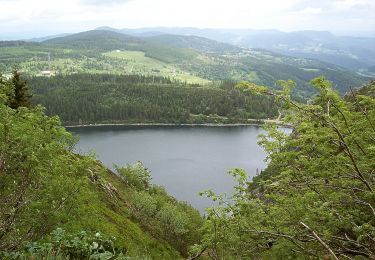
Super rando avec de magnifiques points de vue à ne pas manquer !


Other activity

Walking

Walking

Walking

Walking

Snowshoes

Walking
Walking
On foot
A quand un retour dans les Vosges ?