


10.8 km | 13.4 km-effort

Randonnées de RandoFamili


FREE GPS app for hiking
 SityTrail
IGN / Geographical institutes
SityTrail World
The world is yours!
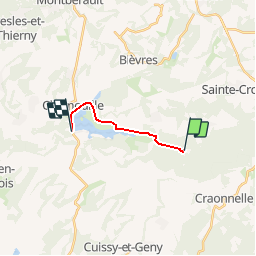
Trail Walking of 8.1 km to be discovered at Hauts-de-France, Aisne, Bouconville-Vauclair. This trail is proposed by Rando Famili.
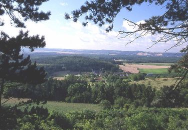
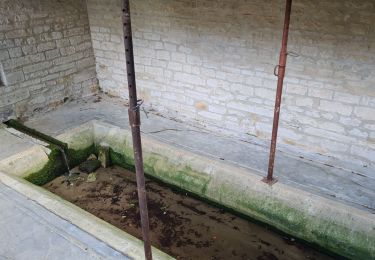
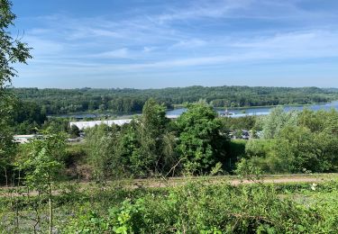
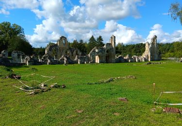
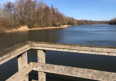
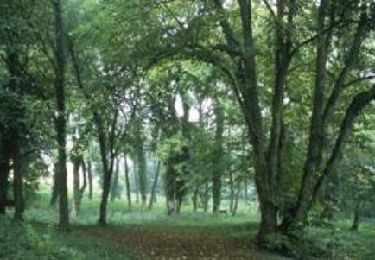
Nichée au cœur de la Vallée de l’Ailette, la Voie Verte vous mène à travers forêt, pâtures et zones humides à la découverte du patrimoine. Des stations d’observation vous décriront les paysages et les éléments remarquables au fil du parcours : ici, une abbaye millénaire (l’abbaye de Vauclair), là, une zone de migration des oiseaux, plus haut, le Chemin des Dames. Ce parcours familial ravira petits et grands, qu’ils soient à pied ou à vélo…


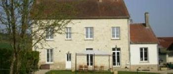
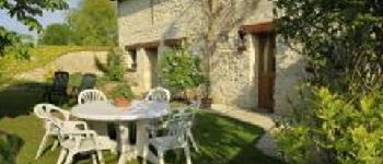
22 photos in total. Please click on a photo to see them all in the gallery.
Walking
Walking
Walking
Walking
Walking
Walking
Walking
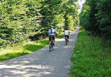
Mountain bike

Walking