


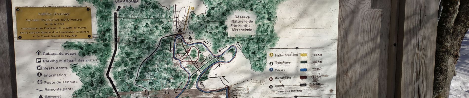
23 km | 36 km-effort

User GUIDE


FREE GPS app for hiking
 SityTrail
IGN / Geographical institutes
SityTrail World
The world is yours!
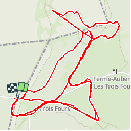
Trail Cross-country skiing of 5.5 km to be discovered at Grand Est, Vosges, Xonrupt-Longemer. This trail is proposed by fabwin.
Belle sortie en skating avec Séb.
Du brouillard pour commencer puis très vite du soleil, une vue magnifique et une neige légèrement gelée qui convenait finalement bien à ma pratique de débutant.
A refaire!!!!!


Walking

Walking
Walking

Other activity

Walking

Walking

Walking

Walking

Walking