


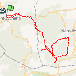

11.8 km | 15.5 km-effort
être à l'heure


FREE GPS app for hiking
 SityTrail
IGN / Geographical institutes
SityTrail World
The world is yours!
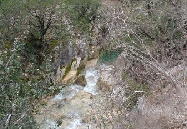
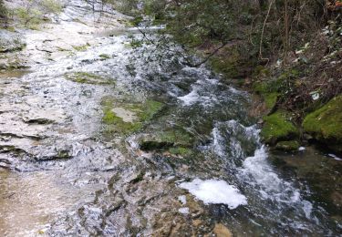
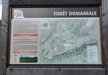
Trail Mountain bike of 24 km to be discovered at Provence-Alpes-Côte d'Azur, Var, Saint-Zacharie. This trail is proposed by JeudaÏ.


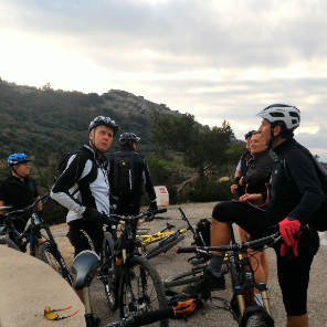
Mountain bike

Walking
Walking
Walking
Walking
Walking
Walking
Walking
Walking