


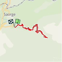

9.9 km | 23 km-effort

User


FREE GPS app for hiking
 SityTrail
IGN / Geographical institutes
SityTrail World
The world is yours!
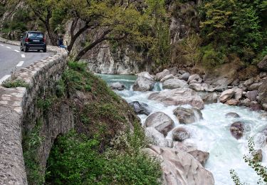
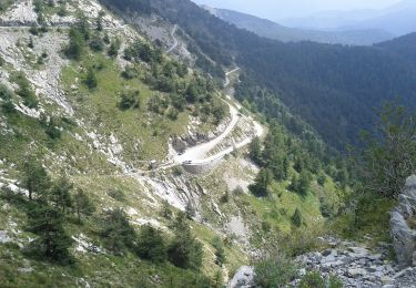
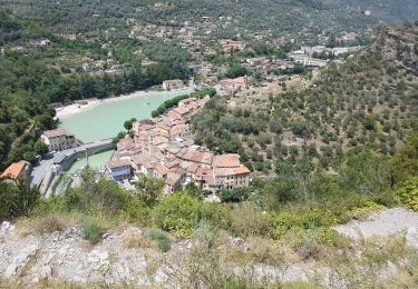
Trail Walking of 8.9 km to be discovered at Provence-Alpes-Côte d'Azur, Maritime Alps, Saorge. This trail is proposed by jlrayon.
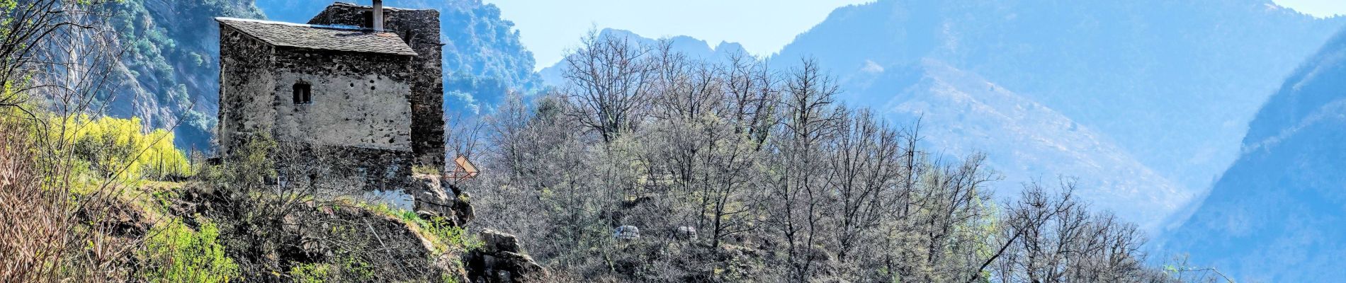
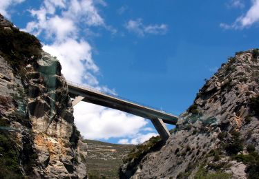
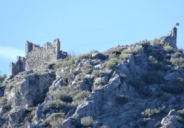
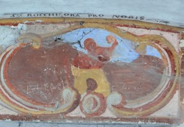
Vallon de la Bendola jusqu'au pont et au gué de Castou par la chapelle Saint Anne


On foot
On foot
On foot
On foot
On foot
Walking
Walking
Walking
Walking